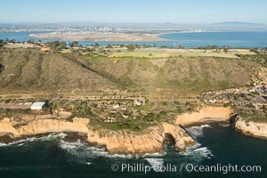
Tombstones at Fort Rosecrans National Cemetery, with downtown San Diego with snow-covered Mt. Laguna in the distance.
Location: San Diego, California
Image ID: 26593
Location: San Diego, California
Image ID: 26593
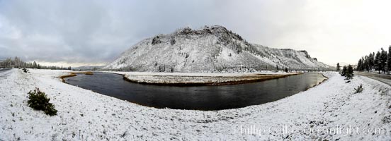
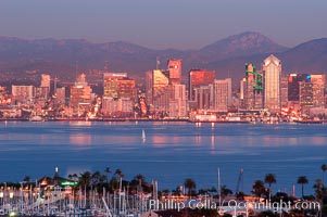
San Diego city skyline, showing the buildings of downtown San Diego rising above San Diego Harbor, viewed from Point Loma with the San Diego Yacht Club in the foreground, sunset.
Location: San Diego, California
Image ID: 22248
Location: San Diego, California
Image ID: 22248
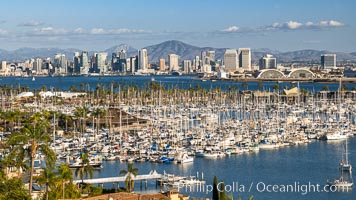
San Diego City Skyline at Sunset, viewed from Point Loma, panoramic photograph.
Location: San Diego, California
Image ID: 36740
Location: San Diego, California
Image ID: 36740
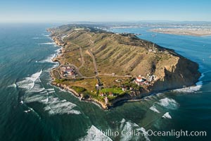
Aerial Photo of Cabrillo Monument and Point Loma.
Image ID: 30759
Image ID: 30759
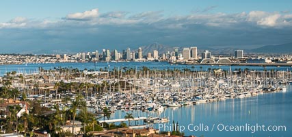
San Diego Bay and Skyline, viewed from Point Loma, panoramic photograph.
Location: San Diego, California
Image ID: 30206
Location: San Diego, California
Image ID: 30206
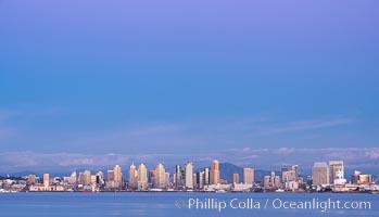
San Diego Bay and Skyline at sunset, viewed from Point Loma, panoramic photograph.
Location: San Diego, California
Image ID: 30213
Location: San Diego, California
Image ID: 30213
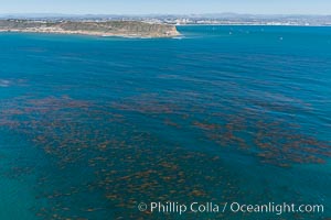
Aerial Photo of Kelp Forests at Cabrillo State Marine Reserve, Point Loma, San Diego.
Location: San Diego, California
Image ID: 30643
Location: San Diego, California
Image ID: 30643
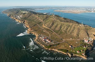
Aerial Photo of Cabrillo State Marine Reserve, Point Loma, San Diego.
Location: San Diego, California
Image ID: 30664
Location: San Diego, California
Image ID: 30664
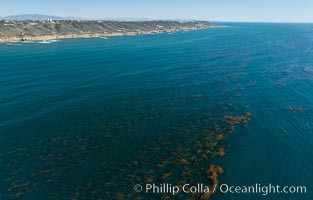
Aerial Photo of Kelp Forests at Cabrillo State Marine Reserve, Point Loma, San Diego.
Location: San Diego, California
Image ID: 30697
Location: San Diego, California
Image ID: 30697
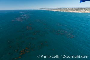
Aerial Photo of Kelp Forests at Cabrillo State Marine Reserve, Point Loma, San Diego.
Location: San Diego, California
Image ID: 30698
Location: San Diego, California
Image ID: 30698
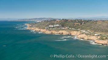
Aerial Photo of Cabrillo State Marine Reserve, Point Loma, San Diego.
Location: San Diego, California
Image ID: 30699
Location: San Diego, California
Image ID: 30699
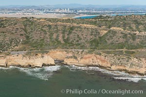
Aerial Photo of Cabrillo State Marine Reserve, Point Loma, San Diego.
Location: San Diego, California
Image ID: 30700
Location: San Diego, California
Image ID: 30700
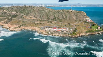
Aerial Photo of Cabrillo State Marine Reserve, Point Loma, San Diego.
Location: San Diego, California
Image ID: 30701
Location: San Diego, California
Image ID: 30701
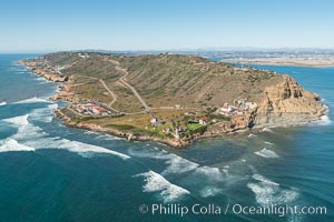
Aerial Photo of Cabrillo State Marine Reserve, Point Loma, San Diego.
Location: San Diego, California
Image ID: 30702
Location: San Diego, California
Image ID: 30702
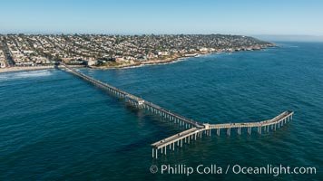
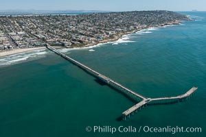
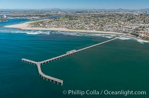
Aerial Photo of Ocean Beach Pier. Ocean Beach Pier, also known as the OB Pier or Ocean Beach Municipal Pier, is the longest concrete pier on the West Coast measuring 1971 feet (601 m) long. Sunset Cliffs and Point Loma extend off to the south.
Image ID: 30753
Image ID: 30753
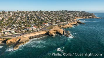
Aerial Photo of Sunset Cliffs and Point Loma.
Image ID: 30756
Image ID: 30756
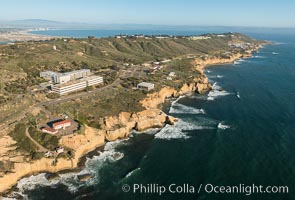
Aerial Photo of Point Loma.
Image ID: 30757
Image ID: 30757
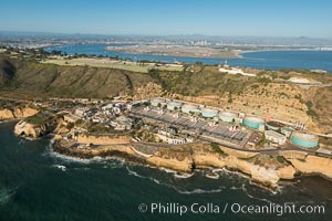
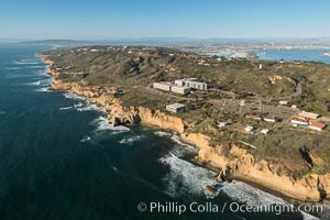
Point Loma Wastewater Treatment Plant and Fort Rosecrans, Point Loma. Opened in 1963, the Point Loma Wastewater Treatment Plant treats approximately 175 million gallons of wastewater per day, generated by 2.2 million residents of San Diego over a 450 square mile area. San Diego Bay, Coronado Island and downtown San Diego are seen in the distance.
Image ID: 30758
Image ID: 30758
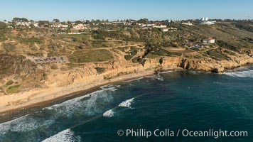
Aerial Photo of Point Loma Nazarene University Campus.
Location: San Diego, California
Image ID: 30808
Location: San Diego, California
Image ID: 30808

Aerial Photo of SPAWAR Systems Center, Point Loma, San Diego.
Location: San Diego, California
Image ID: 30809
Location: San Diego, California
Image ID: 30809
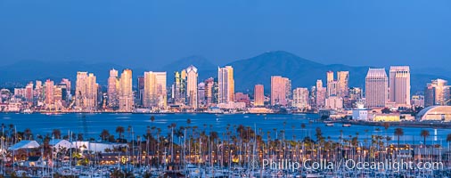
San Diego City Skyline at Sunset, viewed from Point Loma, panoramic photograph.
Location: San Diego, California
Image ID: 36751
Panorama dimensions: 8170 x 20670
Location: San Diego, California
Image ID: 36751
Panorama dimensions: 8170 x 20670

San Diego City Skyline at Sunset, viewed from Point Loma, panoramic photograph.
Location: San Diego, California
Image ID: 36752
Panorama dimensions: 5260 x 25587
Location: San Diego, California
Image ID: 36752
Panorama dimensions: 5260 x 25587

Mission Bay, Ocean Beach, Point Loma, OB Pier, Mission Bay Channel and Coronado islands, at dawn, viewed from Mount Soledad, La Jolla.
Location: San Diego, California
Image ID: 37667
Panorama dimensions: 7490 x 28890
Location: San Diego, California
Image ID: 37667
Panorama dimensions: 7490 x 28890
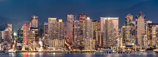
San Diego Downtown Waterfront Skyline Panoramic Photograph, the city of San Diego is lit up just after sunset, the Star of India historic ship is seen at lower left. Viewed from Point Loma.
Location: San Diego, California
Image ID: 38617
Panorama dimensions: 4452 x 12254
Location: San Diego, California
Image ID: 38617
Panorama dimensions: 4452 x 12254

San Diego City Skyline viewed from Point Loma.
Location: San Diego, California
Image ID: 29114
Panorama dimensions: 5380 x 19424
Location: San Diego, California
Image ID: 29114
Panorama dimensions: 5380 x 19424
