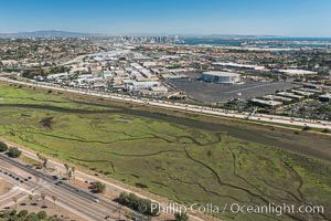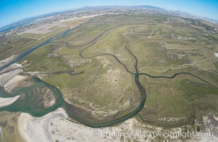
Aerial Photo of Tijuana River Mouth SMCA. Tijuana River Mouth State Marine Conservation Area borders Imperial Beach and the Mexican Border.
Location: Imperial Beach, California
Image ID: 30659
Location: Imperial Beach, California
Image ID: 30659
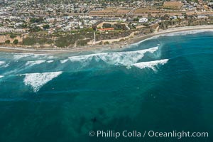
Aerial Photo of Swamis Marine Conservation Area. Swamis State Marine Conservation Area (SMCA) is a marine protected area that extends offshore of Encinitas in San Diego County.
Location: Encinitas, California
Image ID: 30574
Location: Encinitas, California
Image ID: 30574
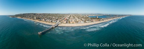
Aerial Panoramic Photo of Crystal Pier and Pacific Beach Coastline.
Location: San Diego, California
Image ID: 30780
Panorama dimensions: 7163 x 20930
Location: San Diego, California
Image ID: 30780
Panorama dimensions: 7163 x 20930
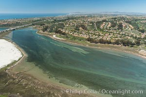
Aerial photo of Batiquitos Lagoon, Carlsbad. The Batiquitos Lagoon is a coastal wetland in southern Carlsbad, California. Part of the lagoon is designated as the Batiquitos Lagoon State Marine Conservation Area, run by the California Department of Fish and Game as a nature reserve.
Location: Carlsbad, Callifornia
Image ID: 30561
Location: Carlsbad, Callifornia
Image ID: 30561
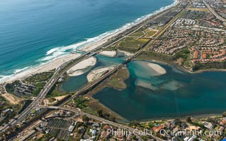
Aerial photo of Batiquitos Lagoon, Carlsbad. The Batiquitos Lagoon is a coastal wetland in southern Carlsbad, California. Part of the lagoon is designated as the Batiquitos Lagoon State Marine Conservation Area, run by the California Department of Fish and Game as a nature reserve.
Location: Carlsbad, Callifornia
Image ID: 30572
Location: Carlsbad, Callifornia
Image ID: 30572
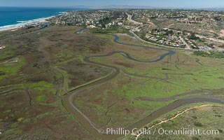
Aerial Photo of San Elijo Lagoon. San Elijo Lagoon Ecological Reserve is one of the largest remaining coastal wetlands in San Diego County, California, on the border of Encinitas, Solana Beach and Rancho Santa Fe.
Location: Encinitas, California
Image ID: 30584
Location: Encinitas, California
Image ID: 30584
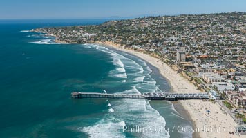
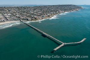
Aerial Photo of Crystal Pier, 872 feet long and built in 1925, extends out into the Pacific Ocean from the town of Pacific Beach. Mission Bay and downtown San Diego are seen in the distance.
Location: San Diego, California
Image ID: 30683
Location: San Diego, California
Image ID: 30683
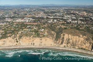
Aerial Photo of UC San Diego, Blacks Beach and La Jolla Farms.
Location: La Jolla, California
Image ID: 30709
Location: La Jolla, California
Image ID: 30709
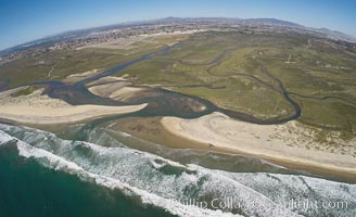
Aerial Photo of Tijuana River Mouth SMCA. Tijuana River Mouth State Marine Conservation Area borders Imperial Beach and the Mexican Border.
Location: Imperial Beach, California
Image ID: 30657
Location: Imperial Beach, California
Image ID: 30657
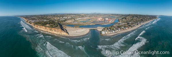
Aerial Panoramic Photo of Del Mar Dog Beach and San Dieguito River. To the left (north) is Solana Beach, to the right (south) is Del Mar with La Jolla's Mount Soledad in the distance. Beyond the San Dieguito River mouth in the center is the Del Mar Racetrack.
Location: Del Mar, California
Image ID: 30775
Panorama dimensions: 6033 x 18069
Location: Del Mar, California
Image ID: 30775
Panorama dimensions: 6033 x 18069
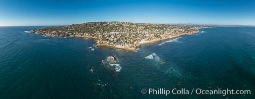
Aerial Panoramic Photo of Bird Rock and La Jolla Coast, with surfers in the waves. Pacific Beach and Mission Beach are to the far right (south). La Jolla's Mount Soledad rises in the center. The submarine reefs around Bird Rock are visible through the clear water. This extremely high resolution panorama will print 80 inches high by 200 inches wide.
Location: La Jolla, California
Image ID: 30778
Panorama dimensions: 7948 x 20303
Location: La Jolla, California
Image ID: 30778
Panorama dimensions: 7948 x 20303
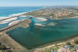
Aerial photo of Batiquitos Lagoon, Carlsbad. The Batiquitos Lagoon is a coastal wetland in southern Carlsbad, California. Part of the lagoon is designated as the Batiquitos Lagoon State Marine Conservation Area, run by the California Department of Fish and Game as a nature reserve.
Location: Carlsbad, Callifornia
Image ID: 30559
Location: Carlsbad, Callifornia
Image ID: 30559
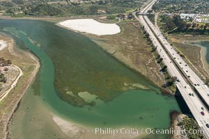
Aerial photo of Batiquitos Lagoon, Carlsbad. The Batiquitos Lagoon is a coastal wetland in southern Carlsbad, California. Part of the lagoon is designated as the Batiquitos Lagoon State Marine Conservation Area, run by the California Department of Fish and Game as a nature reserve.
Location: Carlsbad, Callifornia
Image ID: 30566
Location: Carlsbad, Callifornia
Image ID: 30566
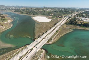
Aerial photo of Batiquitos Lagoon, Carlsbad. The Batiquitos Lagoon is a coastal wetland in southern Carlsbad, California. Part of the lagoon is designated as the Batiquitos Lagoon State Marine Conservation Area, run by the California Department of Fish and Game as a nature reserve.
Location: Carlsbad, Callifornia
Image ID: 30567
Location: Carlsbad, Callifornia
Image ID: 30567
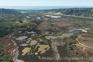
Aerial Photo of San Elijo Lagoon. San Elijo Lagoon Ecological Reserve is one of the largest remaining coastal wetlands in San Diego County, California, on the border of Encinitas, Solana Beach and Rancho Santa Fe.
Location: Encinitas, California
Image ID: 30588
Location: Encinitas, California
Image ID: 30588
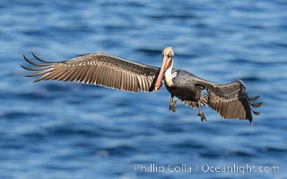
Brown pelican in flight with wings spread wide, slowing as it returns from the ocean to land on seacliffs, adult winter non-breeding plumage.
Species: Brown Pelican, Pelecanus occidentalis, Pelecanus occidentalis californicus
Location: La Jolla, California
Image ID: 38616
Species: Brown Pelican, Pelecanus occidentalis, Pelecanus occidentalis californicus
Location: La Jolla, California
Image ID: 38616
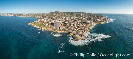
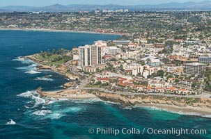
Aerial Panoramic Photo of Casa Cove, Children's Pool and La Jolla Coastline.
Location: La Jolla, California
Image ID: 30776
Panorama dimensions: 7320 x 16348
Location: La Jolla, California
Image ID: 30776
Panorama dimensions: 7320 x 16348
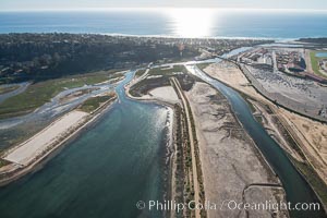
Aerial photo of San Dieguito Lagoon State Marine Conservation Area. San Dieguito Lagoon State Marine Conservation Area (SMCA) is a marine protected area near Del Mar in San Diego County.
Image ID: 30722
Image ID: 30722
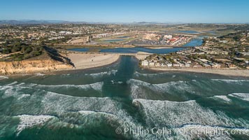
Aerial Photo of San Dieguito River and Dog Beach.
Image ID: 30728
Image ID: 30728
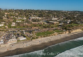
Aerial Photo of Del Mar 15th Street Powerhouse Park.
Image ID: 30729
Image ID: 30729
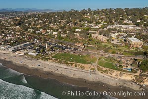
Aerial Photo of Del Mar 15th Street Powerhouse Park.
Image ID: 30730
Image ID: 30730
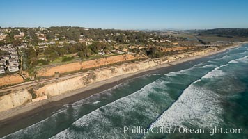
Aerial Photo of Del Mar Coastline.
Image ID: 30731
Image ID: 30731
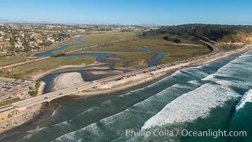
Aerial Photo of Penasquitos Lagoon and Torrey Pines State Beach.
Image ID: 30732
Image ID: 30732
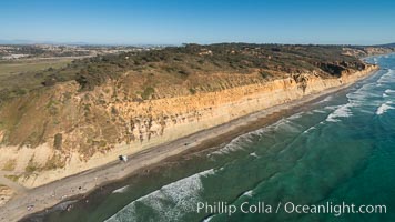
Torrey Pines seacliffs, rising up to 300 feet above the ocean, stretch from Del Mar to La Jolla. On the mesa atop the bluffs are found Torrey pine trees, one of the rare species of pines in the world.
Image ID: 30733
Image ID: 30733
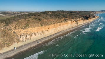
Torrey Pines seacliffs, rising up to 300 feet above the ocean, stretch from Del Mar to La Jolla. On the mesa atop the bluffs are found Torrey pine trees, one of the rare species of pines in the world.
Image ID: 30734
Image ID: 30734
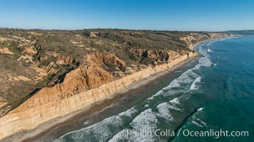
Torrey Pines seacliffs, rising up to 300 feet above the ocean, stretch from Del Mar to La Jolla. On the mesa atop the bluffs are found Torrey pine trees, one of the rare species of pines in the world.
Image ID: 30735
Image ID: 30735
