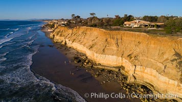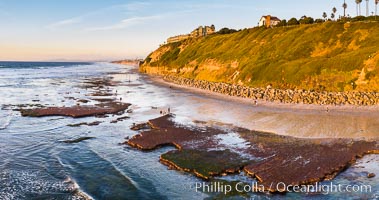
Swamis Beach Reefs Exposed by King Tides, people explore ocean reefs normally underwater but exposed on the extreme low tides known as King Tides. Aerial photo.
Location: Swamis, Encinitas, California
Image ID: 37992
Location: Swamis, Encinitas, California
Image ID: 37992
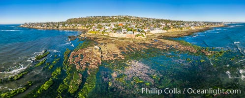
Bird Rock Reef Exposed at Extreme Low Tide, La Jolla, California.
Location: Bird Rock, La Jolla, California
Image ID: 37993
Panorama dimensions: 5578 x 13879
Location: Bird Rock, La Jolla, California
Image ID: 37993
Panorama dimensions: 5578 x 13879
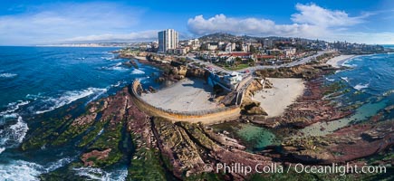
Childrens Pool Reef Exposed at Extreme Low King Tide, La Jolla, California. Aerial panoramic photograph.
Location: Children's Pool, La Jolla, California
Image ID: 37995
Panorama dimensions: 5787 x 12589
Location: Children's Pool, La Jolla, California
Image ID: 37995
Panorama dimensions: 5787 x 12589
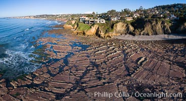
La Jolla Bay submarine reef system on extreme low King Tide, south of La Jolla Shores, aerial panoramic photo.
Location: La Jolla, California
Image ID: 37999
Panorama dimensions: 5103 x 9390
Location: La Jolla, California
Image ID: 37999
Panorama dimensions: 5103 x 9390
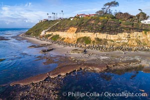
Swamis Reef exposed at extreme low King Tide, Encinitas, aerial panoramic photo.
Location: Swamis, Encinitas, California
Image ID: 38002
Location: Swamis, Encinitas, California
Image ID: 38002
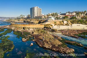
Childrens Pool Reef Exposed at Extreme Low Tide, La Jolla, California.
Location: La Jolla, California
Image ID: 38009
Location: La Jolla, California
Image ID: 38009
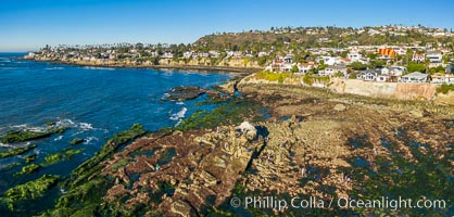
Bird Rock Reef Exposed at Extreme Low Tide, La Jolla, California.
Location: La Jolla, California
Image ID: 38010
Location: La Jolla, California
Image ID: 38010
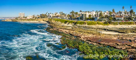
South Casa Reef Exposed at Extreme Low Tide, La Jolla, California.
Location: La Jolla, California
Image ID: 38011
Location: La Jolla, California
Image ID: 38011
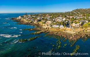
Sun Gold Point Reef Exposed at Extreme Low Tide, La Jolla, California.
Location: La Jolla, California
Image ID: 38012
Location: La Jolla, California
Image ID: 38012
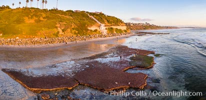
Swamis Beach Reefs Exposed by King Tides, people explore ocean reefs normally underwater but exposed on the extreme low tides known as King Tides. Aerial photo.
Location: Encinitas, California
Image ID: 38014
Panorama dimensions: 4226 x 8716
Location: Encinitas, California
Image ID: 38014
Panorama dimensions: 4226 x 8716
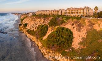
Aerial photo of Coastal Seacliffs in Encinitas California.
Location: Encinitas, California
Image ID: 38015
Location: Encinitas, California
Image ID: 38015
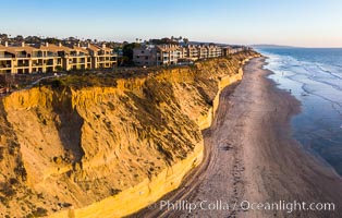
Solana Beach sea cliffs and coastline, aerial view.
Location: Solana Beach, California
Image ID: 38024
Location: Solana Beach, California
Image ID: 38024
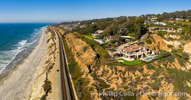
Aerial Photo of Del Mar Coastline, North County, San Diego, including train tracks running along the edge of the sea cliffs above the Pacific Ocean.
Location: Del Mar, California
Image ID: 38036
Location: Del Mar, California
Image ID: 38036
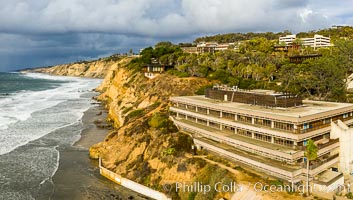
Scripps Institution of Oceanography and Blacks Beach Aerial Photo. Torrey Pines State Reserve in the distance.
Location: Scripps Institution of Oceanography, La Jolla, California
Image ID: 38039
Location: Scripps Institution of Oceanography, La Jolla, California
Image ID: 38039
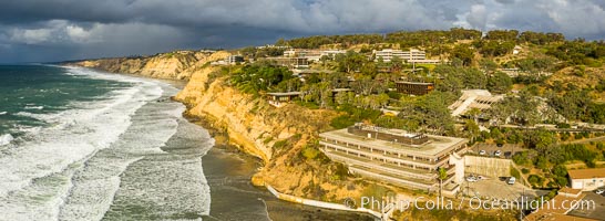
Scripps Institution of Oceanography and Blacks Beach Aerial Photo. Torrey Pines State Reserve in the distance.
Location: Scripps Institution of Oceanography, La Jolla, California
Image ID: 38040
Panorama dimensions: 2964 x 8098
Location: Scripps Institution of Oceanography, La Jolla, California
Image ID: 38040
Panorama dimensions: 2964 x 8098
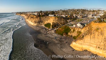
Fletcher Cove, Pillbox, Solana Beach, aerial photo.
Location: Solana Beach, California
Image ID: 38044
Location: Solana Beach, California
Image ID: 38044
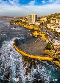
Childrens Pool seawall and Casa Cove aerial photo, La Jolla, California. Sunset. Aerial panoramic photograph.
Location: La Jolla, California
Image ID: 38072
Location: La Jolla, California
Image ID: 38072
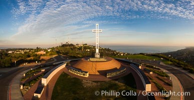
Sunrise over The Mount Soledad Cross, a landmark in La Jolla, California. The Mount Soledad Cross is a 29-foot-tall cross erected in 1954. Aerial photo.
Location: La Jolla, California
Image ID: 38125
Location: La Jolla, California
Image ID: 38125
Beacons Beach and Leucadia Coastline, sunset, Encinitas, aerial photo.
Location: Encinitas, California
Image ID: 38127
Panorama dimensions: 4322 x 9955
Location: Encinitas, California
Image ID: 38127
Panorama dimensions: 4322 x 9955
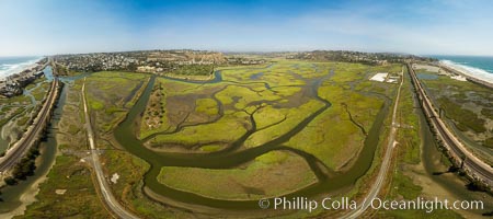
San Elijo Lagoon showing tidal channels, Encinitas, aerial photo.
Location: Encinitas, California
Image ID: 38129
Panorama dimensions: 4693 x 10560
Location: Encinitas, California
Image ID: 38129
Panorama dimensions: 4693 x 10560
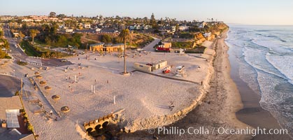
Moonlight Beach Aerial Panoramic Photo at Sunset, Encinitas.
Location: Encinitas, California
Image ID: 38135
Location: Encinitas, California
Image ID: 38135
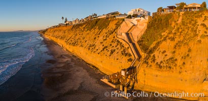
Stone Steps Beach at Sunset, Aerial Panorama, Encinitas, California.
Location: Encinitas, California
Image ID: 38136
Location: Encinitas, California
Image ID: 38136
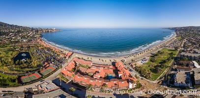
La Jolla Shores coastline, from Point La Jolla in the south to Blacks Beach in the north, aerial photo.
Location: La Jolla, California
Image ID: 38137
Location: La Jolla, California
Image ID: 38137
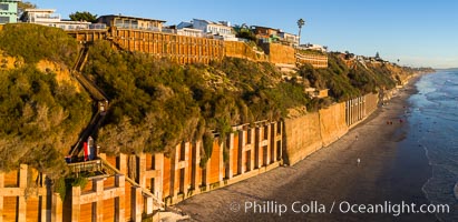
Falling bluffs and reinforcements, buttressing, Encinitas and Leucadia. These bluffs are coming down, its only a matter of time, but residents spend to prop up the bluffs and keep their homes from falling into the ocean.
Location: Encinitas, California
Image ID: 38140
Location: Encinitas, California
Image ID: 38140
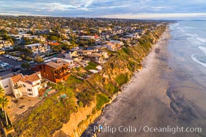
Grandview Beach, Aerial Photo, Encinitas and Carlsbad.
Location: Encinitas, California
Image ID: 38142
Location: Encinitas, California
Image ID: 38142
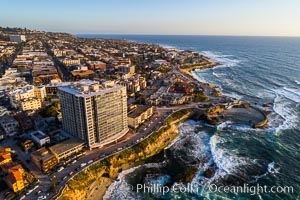
Aerial Photo of Children's Pool, Casa Cove and La Jolla Coastline.
Location: La Jolla, California
Image ID: 38145
Location: La Jolla, California
Image ID: 38145
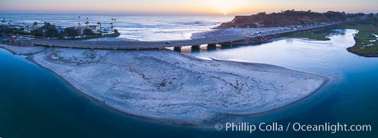
San Dieguito River Mouth and Del Mar Dog Beach, Aerial Photo.
Location: Del Mar, California
Image ID: 38148
Panorama dimensions: 3042 x 8314
Location: Del Mar, California
Image ID: 38148
Panorama dimensions: 3042 x 8314
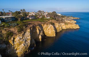
La Jolla Caves and Coastline, Goldfish Point, Aerial Photo.
Location: La Jolla, California
Image ID: 38153
Location: La Jolla, California
Image ID: 38153
