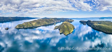
Browning Pass aerial photo, with Nigei Island (left) and Balackava Island (right).
Location: British Columbia, Canada
Image ID: 35252
Panorama dimensions: 6038 x 13074
Location: British Columbia, Canada
Image ID: 35252
Panorama dimensions: 6038 x 13074
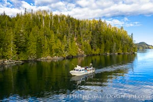
Dive Boat Hurst Island, Browning Pass, Canada, aerial photo.
Location: British Columbia, Canada
Image ID: 35253
Location: British Columbia, Canada
Image ID: 35253
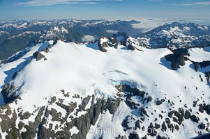
Mariner Mountain, on the west coast of Vancouver Island, British Columbia, Canada, part of Strathcona Provincial Park, located 36 km (22 mi) north of Tofino. It is 1,771 m (5,810 ft) high, snow covered year-round and home to several glaciers.
Location: Mariner Mountain, Strathcona Provincial Park, British Columbia, Canada
Image ID: 21072
Location: Mariner Mountain, Strathcona Provincial Park, British Columbia, Canada
Image ID: 21072
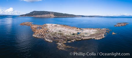
Steller Sea Lions atop Norris Rocks, Hornby Island in the distance, panoramic photo.
Species: Steller sea lion, Eumetopias jubatus
Location: British Columbia, Canada
Image ID: 34467
Panorama dimensions: 3758 x 8590
Species: Steller sea lion, Eumetopias jubatus
Location: British Columbia, Canada
Image ID: 34467
Panorama dimensions: 3758 x 8590
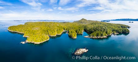
Hurst Island and Gods Pocket Provincial Park, aerial photo.
Location: British Columbia, Canada
Image ID: 35285
Panorama dimensions: 6271 x 13942
Location: British Columbia, Canada
Image ID: 35285
Panorama dimensions: 6271 x 13942

Browning Pass and Balaklava Island, location of the best cold water diving in the world, aerial panoramic photo.
Location: British Columbia, Canada
Image ID: 34472
Panorama dimensions: 4106 x 13744
Location: British Columbia, Canada
Image ID: 34472
Panorama dimensions: 4106 x 13744
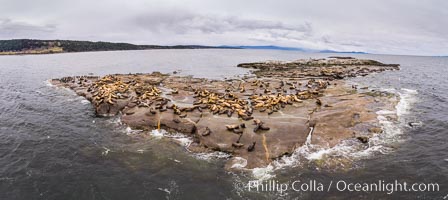
Steller Sea Lions atop Norris Rocks, Hornby Island and Vancouver Island, panoramic photo.
Species: Steller sea lion, Eumetopias jubatus
Location: British Columbia, Canada
Image ID: 34468
Panorama dimensions: 4590 x 10283
Species: Steller sea lion, Eumetopias jubatus
Location: British Columbia, Canada
Image ID: 34468
Panorama dimensions: 4590 x 10283
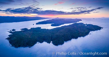
Balaklava Island at sunset, aerial photo, Vancouver Island, Canada.
Location: British Columbia, Canada
Image ID: 35328
Panorama dimensions: 4728 x 8986
Location: British Columbia, Canada
Image ID: 35328
Panorama dimensions: 4728 x 8986
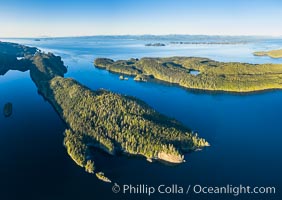
Browning Pass aerial photo, with Nigei Island (left) and Balackava Island (right).
Location: British Columbia, Canada
Image ID: 35330
Location: British Columbia, Canada
Image ID: 35330
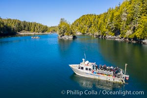
Kent Island anchorage, British Columbia, aerial photo.
Location: British Columbia, Canada
Image ID: 35332
Location: British Columbia, Canada
Image ID: 35332
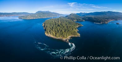
Seymour Narrows with strong tidal currents. Between Vancouver Island and Quadra Island, Seymour Narrows is about 750 meters wide and has currents reaching 15 knots. Aerial photo.
Location: British Columbia, Canada
Image ID: 34466
Panorama dimensions: 5111 x 10075
Location: British Columbia, Canada
Image ID: 34466
Panorama dimensions: 5111 x 10075
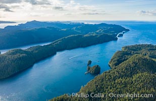
Browning Pass aerial photo, with Nigei Island (left) and Balackava Island (right).
Location: British Columbia, Canada
Image ID: 35398
Location: British Columbia, Canada
Image ID: 35398
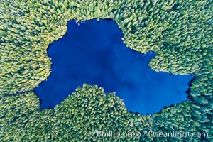
Balaklava Lake on Balaklava Island, Aerial Photo.
Location: British Columbia, Canada
Image ID: 34469
Location: British Columbia, Canada
Image ID: 34469
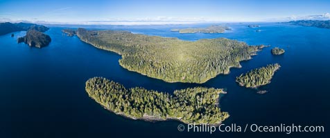
Browning Pass and Balaklava Island, location of the best cold water diving in the world, aerial panoramic photo.
Location: British Columbia, Canada
Image ID: 34471
Panorama dimensions: 5157 x 12273
Location: British Columbia, Canada
Image ID: 34471
Panorama dimensions: 5157 x 12273
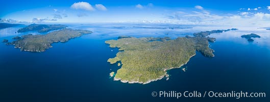
Hurst Island, Balaklava Island (left) and Gods Pocket Provincial Park, aerial photo.
Location: Gods Pocket Provincial Park, Vancouver Island, British Columbia, Canada
Image ID: 34473
Panorama dimensions: 5112 x 13528
Location: Gods Pocket Provincial Park, Vancouver Island, British Columbia, Canada
Image ID: 34473
Panorama dimensions: 5112 x 13528
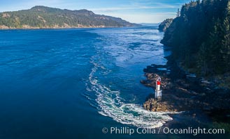
Seymour Narrows with strong tidal currents. Between Vancouver Island and Quadra Island, Seymour Narrows is about 750 meters wide and has currents reaching 15 knots. Aerial photo.
Location: British Columbia, Canada
Image ID: 34474
Location: British Columbia, Canada
Image ID: 34474
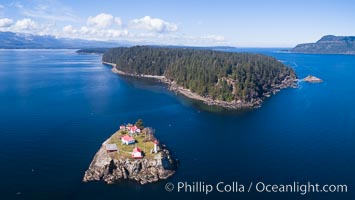
Chrome Island (foreground) and Denman Island, Hornby Island in the distance.
Location: British Columbia, Canada
Image ID: 34475
Location: British Columbia, Canada
Image ID: 34475
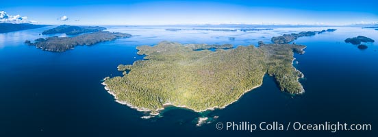
Hurst Island, Balaklava Island (left) and Gods Pocket Provincial Park, aerial photo.
Location: Gods Pocket Provincial Park, Vancouver Island, British Columbia, Canada
Image ID: 34479
Panorama dimensions: 5202 x 14357
Location: Gods Pocket Provincial Park, Vancouver Island, British Columbia, Canada
Image ID: 34479
Panorama dimensions: 5202 x 14357
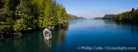
Dive Boat Hurst Island, Browning Pass, aerial photo, Canada.
Location: British Columbia, Canada
Image ID: 35461
Panorama dimensions: 3211 x 8404
Location: British Columbia, Canada
Image ID: 35461
Panorama dimensions: 3211 x 8404
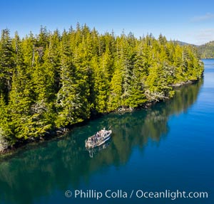
Dive Boat Hurst Island, Browning Pass, aerial photo, Canada.
Location: British Columbia, Canada
Image ID: 35462
Location: British Columbia, Canada
Image ID: 35462
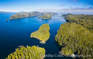
Lucan Islands and Browning Pass, aerial photo, Canada.
Location: British Columbia, Canada
Image ID: 35463
Location: British Columbia, Canada
Image ID: 35463
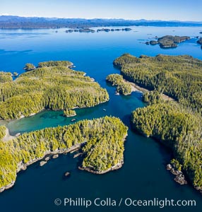
Staples and Kent Islands, British Columbia, aerial photo.
Location: British Columbia, Canada
Image ID: 35495
Location: British Columbia, Canada
Image ID: 35495
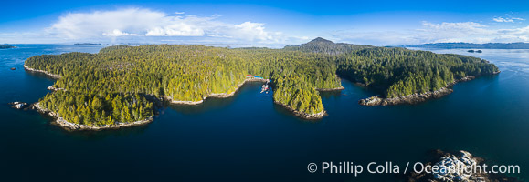
Hurst Island and Gods Pocket Provincial Park, aerial photo.
Location: Gods Pocket Provincial Park, Vancouver Island, British Columbia, Canada
Image ID: 34464
Panorama dimensions: 6311 x 15465
Location: Gods Pocket Provincial Park, Vancouver Island, British Columbia, Canada
Image ID: 34464
Panorama dimensions: 6311 x 15465
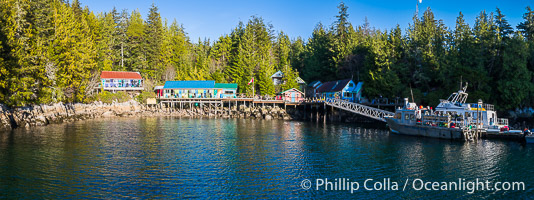
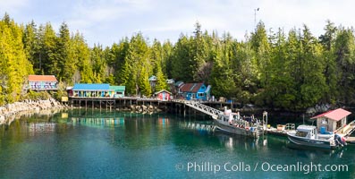
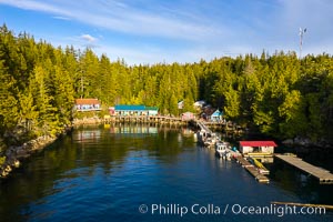
Gods Pocket Resort, on Hurst Island, part of Gods Pocket Provincial Park, aerial photo.
Location: British Columbia, Canada
Image ID: 34465
Panorama dimensions: 2949 x 7877
Location: British Columbia, Canada
Image ID: 34465
Panorama dimensions: 2949 x 7877
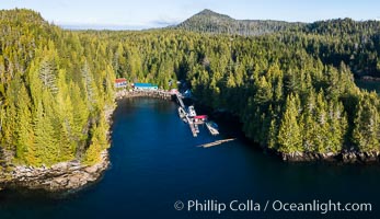
Gods Pocket Resort, on Hurst Island, part of Gods Pocket Provincial Park, aerial photo.
Location: British Columbia, Canada
Image ID: 34470
Location: British Columbia, Canada
Image ID: 34470
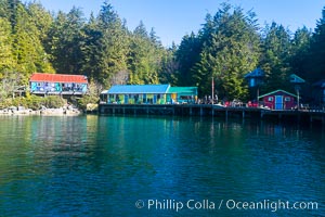
Gods Pocket Resort, on Hurst Island, part of Gods Pocket Provincial Park, aerial photo.
Location: British Columbia, Canada
Image ID: 34476
Location: British Columbia, Canada
Image ID: 34476
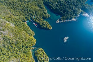
Gods Pocket Resort, on Hurst Island, part of Gods Pocket Provincial Park, aerial photo.
Location: British Columbia, Canada
Image ID: 34477
Location: British Columbia, Canada
Image ID: 34477
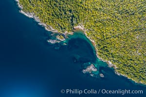
Hurst Island coastline aerial photo, God's Pocket Provincial Park, Vancouver Island, British Columbia, Canada.
Location: British Columbia, Canada
Image ID: 34478
Location: British Columbia, Canada
Image ID: 34478
