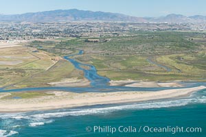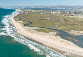
Aerial Photo of Tijuana River Mouth SMCA. Tijuana River Mouth State Marine Conservation Area borders Imperial Beach and the Mexican Border.
Location: Imperial Beach, California
Image ID: 30656
Location: Imperial Beach, California
Image ID: 30656

Aerial Photo of Tijuana River Mouth SMCA. Tijuana River Mouth State Marine Conservation Area borders Imperial Beach and the Mexican Border.
Location: Imperial Beach, California
Image ID: 30658
Location: Imperial Beach, California
Image ID: 30658

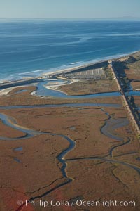
Los Penasquitos Marsh, seen from above along the coast south of Del Mar, where it exchanges fresh and salt water iwith the Pacific Ocean along Torrey Pines State Beach.
Location: San Diego, California
Image ID: 22309
Location: San Diego, California
Image ID: 22309

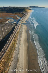
Coast Highway 101, looking south from Del Mar, with Los Penasquitos Marsh on the left and the cliffs of Torrey Pines State Reserve and La Jolla in the distance.
Location: San Diego, California
Image ID: 22434
Location: San Diego, California
Image ID: 22434