Aerial Photo of Swami's and Encinitas Coast.
Location: Encinitas, California
Image ID: 30781
Panorama dimensions: 5435 x 15610
Location: Encinitas, California
Image ID: 30781
Panorama dimensions: 5435 x 15610
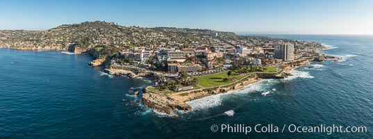
Aerial Photo of Point La Jolla and La Jolla Cove, Boomer Beach, Scripps Park.
Location: La Jolla, California
Image ID: 30782
Panorama dimensions: 4829 x 12976
Location: La Jolla, California
Image ID: 30782
Panorama dimensions: 4829 x 12976
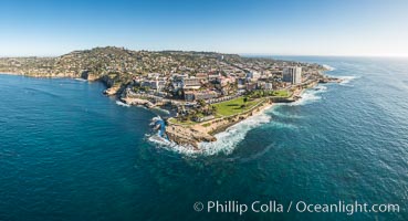
Aerial Photo of Point La Jolla and La Jolla Cove, Boomer Beach, Scripps Park.
Location: La Jolla, California
Image ID: 30784
Panorama dimensions: 7094 x 13092
Location: La Jolla, California
Image ID: 30784
Panorama dimensions: 7094 x 13092
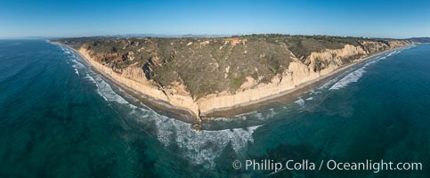
Aerial Panoramic Photo of Torrey Pines, Flat Rock.
Location: Torrey Pines State Reserve, San Diego, California
Image ID: 30785
Panorama dimensions: 7668 x 18530
Location: Torrey Pines State Reserve, San Diego, California
Image ID: 30785
Panorama dimensions: 7668 x 18530
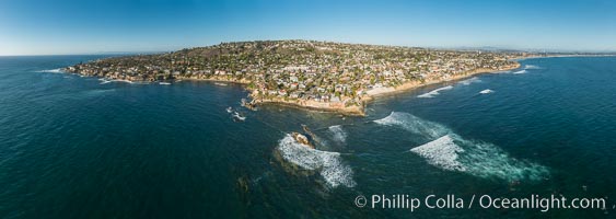
Aerial Panoramic Photo of Bird Rock and La Jolla Coast.
Location: La Jolla, California
Image ID: 30787
Panorama dimensions: 7955 x 22392
Location: La Jolla, California
Image ID: 30787
Panorama dimensions: 7955 x 22392

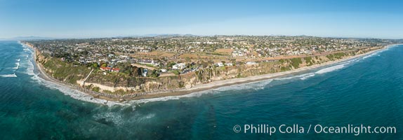
Aerial Photo of Swami's and Encinitas Coast.
Location: Encinitas, California
Image ID: 30788
Panorama dimensions: 8500 x 26638
Location: Encinitas, California
Image ID: 30788
Panorama dimensions: 8500 x 26638
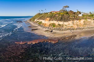
Swamis Reef exposed at extreme low King Tide, Encinitas, aerial panoramic photo.
Location: Swamis, Encinitas, California
Image ID: 37996
Location: Swamis, Encinitas, California
Image ID: 37996
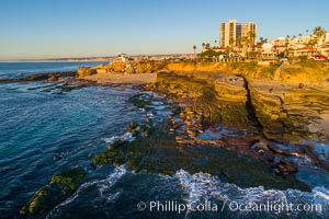
South Casa Beach and Submarine Reef System, at extreme low King Tide, La Jolla, aerial panoramic photo.
Location: La Jolla, California
Image ID: 37998
Location: La Jolla, California
Image ID: 37998
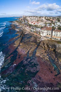
Nicholson Point on extreme low King Tide, La Jolla, aerial panoramic photo.
Location: La Jolla, California
Image ID: 38001
Location: La Jolla, California
Image ID: 38001
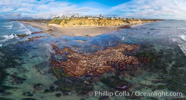
Tabletop Reef at extreme low tide, King Tide, Solana Beach, aerial panoramic photo.
Location: California
Image ID: 38003
Panorama dimensions: 7782 x 14460
Location: California
Image ID: 38003
Panorama dimensions: 7782 x 14460
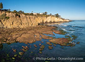
La Jolla Bay submarine reef system on extreme low King Tide, south of La Jolla Shores, aerial panoramic photo.
Location: La Jolla, California
Image ID: 38035
Location: La Jolla, California
Image ID: 38035
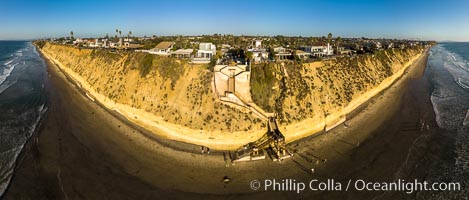
Stone Steps and Encinitas Coastline, Aerial View. Aerial panoramic photo.
Location: Encinitas, California
Image ID: 38058
Panorama dimensions: 5354 x 12552
Location: Encinitas, California
Image ID: 38058
Panorama dimensions: 5354 x 12552
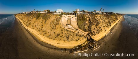
Stone Steps and Encinitas Coastline, Aerial View. Aerial panoramic photo.
Location: Encinitas, California
Image ID: 38059
Panorama dimensions: 6122 x 14249
Location: Encinitas, California
Image ID: 38059
Panorama dimensions: 6122 x 14249
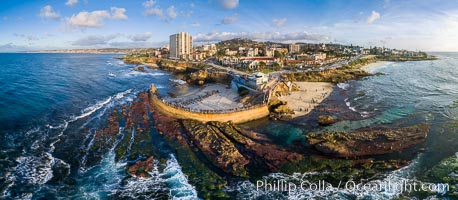
Childrens Pool Reef Exposed at Extreme Low Tide, La Jolla, California. Aerial panoramic photograph.
Location: La Jolla, California
Image ID: 38071
Panorama dimensions: 5543 x 12691
Location: La Jolla, California
Image ID: 38071
Panorama dimensions: 5543 x 12691
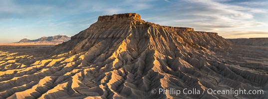
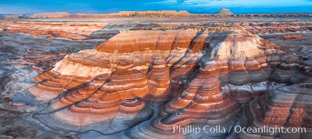
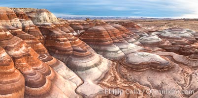
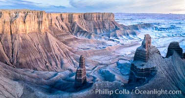
South Caineville Mesa, exceptional example of badlands erosional geology, near Hanksville, Utah. The Henry Mountains lie in the distance. Sunset.
Location: Hanksville, Utah
Image ID: 38198
Panorama dimensions: 3403 x 9133
Location: Hanksville, Utah
Image ID: 38198
Panorama dimensions: 3403 x 9133
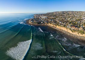
Tourmaline Beach and Surf Park aerial photo, with waves wrapping around False Point, La Jolla.
Location: La Jolla, California
Image ID: 38204
Location: La Jolla, California
Image ID: 38204

Angel Moroni trumpeting atop the San Diego California Temple, the Mormon Temple in La Jolla, California.
Location: La Jolla, California
Image ID: 38205
Location: La Jolla, California
Image ID: 38205
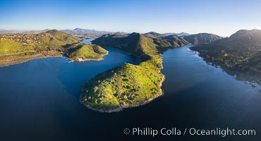
Lake Hodges reservoir, aerial panoramic photo, San Diego.
Location: Escondido, California
Image ID: 38218
Panorama dimensions: 4989 x 9219
Location: Escondido, California
Image ID: 38218
Panorama dimensions: 4989 x 9219
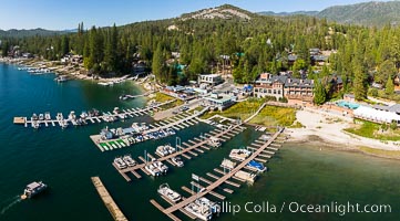
Duceys Resort at Bass Lake near Oakhurst, aerial photo.
Location: Bass Lake, California
Image ID: 38252
Location: Bass Lake, California
Image ID: 38252
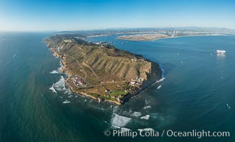
Aerial Panoramic Photo of Point Loma and Cabrillo Monument, with San Diego Bay in the distance.
Image ID: 30774
Panorama dimensions: 9514 x 15751
Image ID: 30774
Panorama dimensions: 9514 x 15751
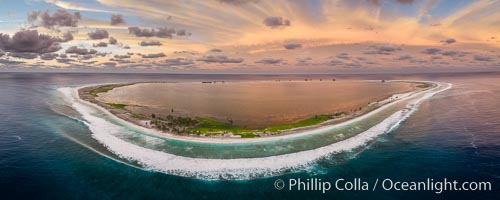
Sunset at Clipperton Island, aerial panoramic photo showing the entire atoll. Clipperton Island, a minor territory of France also known as Ile de la Passion, is a small (2.3 sq mi) but spectacular coral atoll in the eastern Pacific. By permit HC / 1485 / CAB (France).
Location: Clipperton Island, France
Image ID: 32933
Panorama dimensions: 4403 x 11006
Location: Clipperton Island, France
Image ID: 32933
Panorama dimensions: 4403 x 11006
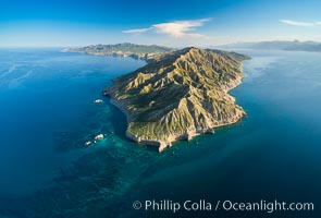
Isla San Jose and Coral Reefs, Aerial Panoramic Photo, Sea of Cortez.
Location: Isla San Jose, Baja California, Mexico
Image ID: 33508
Location: Isla San Jose, Baja California, Mexico
Image ID: 33508
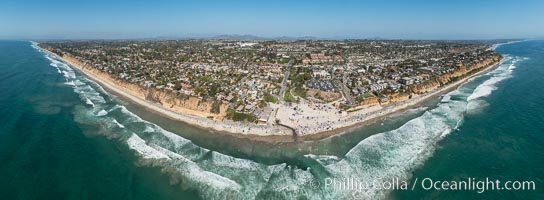
Aerial Panoramic Photo of Moonlight Beach and Encinitas.
Image ID: 30853
Panorama dimensions: 9950 x 27068
Image ID: 30853
Panorama dimensions: 9950 x 27068
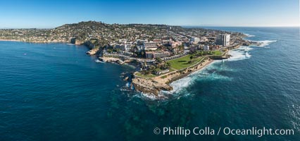
Aerial Panoramic Photo of Point La Jolla and La Jolla Cove, Boomer Beach, Scripps Park.
Location: La Jolla, California
Image ID: 30786
Panorama dimensions: 7679 x 16364
Location: La Jolla, California
Image ID: 30786
Panorama dimensions: 7679 x 16364
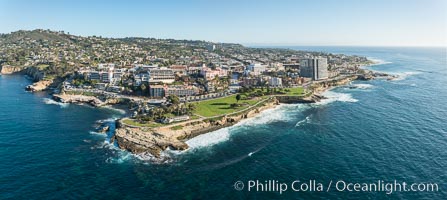
Aerial Panoramic Photo of La Jolla Cove and La Jolla Coastline.
Location: La Jolla, California
Image ID: 30800
Panorama dimensions: 5165 x 11539
Location: La Jolla, California
Image ID: 30800
Panorama dimensions: 5165 x 11539
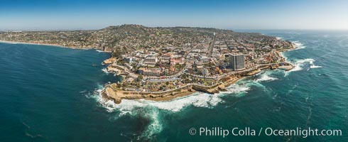
Aerial Panoramic Photo of La Jolla Cove and Scripps Park, Mount Soledad and Downtown La Jolla.
Location: La Jolla, California
Image ID: 30849
Panorama dimensions: 7919 x 19385
Location: La Jolla, California
Image ID: 30849
Panorama dimensions: 7919 x 19385
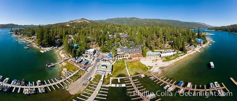
Duceys Resort at Bass Lake near Oakhurst, aerial photo.
Location: Bass Lake, California
Image ID: 38251
Panorama dimensions: 6194 x 14485
Location: Bass Lake, California
Image ID: 38251
Panorama dimensions: 6194 x 14485
