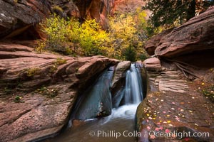
Fall Colors in Kanarra Creek Canyon, Utah.
Location: Kanarra Creek, Kanarraville, Utah
Image ID: 32646
Location: Kanarra Creek, Kanarraville, Utah
Image ID: 32646
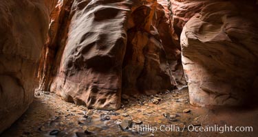
Kanarra Creek Canyon, Utah.
Location: Kanarra Creek, Kanarraville, Utah
Image ID: 32648
Panorama dimensions: 5304 x 9938
Location: Kanarra Creek, Kanarraville, Utah
Image ID: 32648
Panorama dimensions: 5304 x 9938
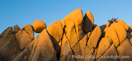
Hikers atop Jumbo Rocks at sunset, warm last light falling on the boulders.
Location: Joshua Tree National Park, California
Image ID: 29185
Location: Joshua Tree National Park, California
Image ID: 29185
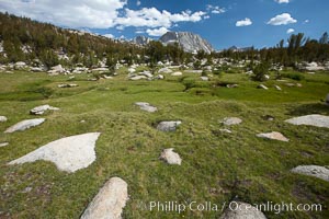
Alpine meadow in Yosemite's High Sierra, on approach on the John Muir Trail to Vogelsang High Sierra Camp, looking south.
Location: Yosemite National Park, California
Image ID: 23209
Location: Yosemite National Park, California
Image ID: 23209
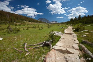
Alpine meadow and John Muir Trail, in Yosemite's high country on approach to Vogelsang High Sierra Camp.
Location: Yosemite National Park, California
Image ID: 23212
Location: Yosemite National Park, California
Image ID: 23212
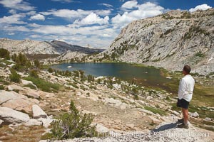
Hiker views Vogelsang Lake and the western buttress of Fletcher Peak from a vantage point near Vogelsang Pass, looking north.
Location: Yosemite National Park, California
Image ID: 23216
Location: Yosemite National Park, California
Image ID: 23216
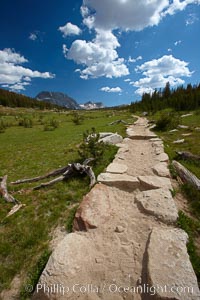
Alpine meadow and John Muir Trail, in Yosemite's high country on approach to Vogelsang High Sierra Camp.
Location: Yosemite National Park, California
Image ID: 23243
Location: Yosemite National Park, California
Image ID: 23243
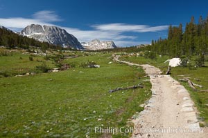
Alpine meadow and John Muir Trail, in Yosemite's high country on approach to Vogelsang High Sierra Camp.
Location: Yosemite National Park, California
Image ID: 23246
Location: Yosemite National Park, California
Image ID: 23246
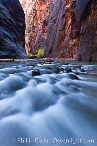
Cottonwood trees along the Virgin River, with flowing water and sandstone walls, in fall.
Location: Virgin River Narrows, Zion National Park, Utah
Image ID: 26127
Location: Virgin River Narrows, Zion National Park, Utah
Image ID: 26127
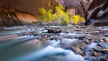
Cottonwood trees along the Virgin River, with flowing water and sandstone walls, in fall.
Location: Virgin River Narrows, Zion National Park, Utah
Image ID: 26128
Location: Virgin River Narrows, Zion National Park, Utah
Image ID: 26128
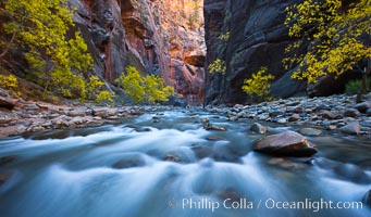
Flowing water and fall cottonwood trees, along the Virgin River in the Zion Narrows in autumn.
Location: Virgin River Narrows, Zion National Park, Utah
Image ID: 26129
Location: Virgin River Narrows, Zion National Park, Utah
Image ID: 26129
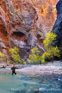
Photographer in the Virgin River Narrows, with flowing water, autumn cottonwood trees and towering red sandstone cliffs.
Location: Virgin River Narrows, Zion National Park, Utah
Image ID: 26130
Location: Virgin River Narrows, Zion National Park, Utah
Image ID: 26130
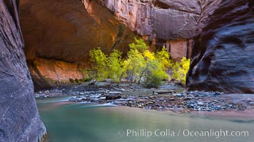
Flowing water and fall cottonwood trees, along the Virgin River in the Zion Narrows in autumn.
Location: Virgin River Narrows, Zion National Park, Utah
Image ID: 26140
Location: Virgin River Narrows, Zion National Park, Utah
Image ID: 26140
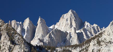
Mt. Whitney is the highest point in the contiguous United States with an elevation of 14,505 feet (4,421 m). It lies along the crest of the Sierra Nevada mountain range. Composed of the Sierra Nevada batholith granite formation, its eastern side (seen here) is quite steep. It is climbed by hundreds of hikers each year.
Image ID: 21761
Panorama dimensions: 2298 x 4990
Image ID: 21761
Panorama dimensions: 2298 x 4990
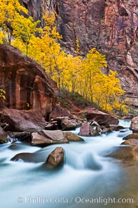
The Virgin River flows by autumn cottonwood trees, part of the Virgin River Narrows. This is a fantastic hike in fall with the comfortable temperatures, beautiful fall colors and light crowds.
Location: Virgin River Narrows, Zion National Park, Utah
Image ID: 26116
Location: Virgin River Narrows, Zion National Park, Utah
Image ID: 26116
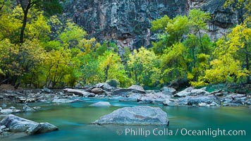
The Virgin River flows by autumn cottonwood trees, part of the Virgin River Narrows. This is a fantastic hike in fall with the comfortable temperatures, beautiful fall colors and light crowds.
Location: Virgin River Narrows, Zion National Park, Utah
Image ID: 26117
Location: Virgin River Narrows, Zion National Park, Utah
Image ID: 26117
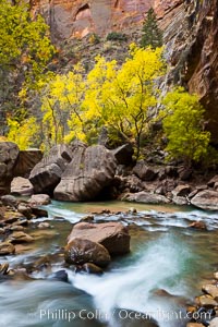
The Virgin River flows by autumn cottonwood trees, part of the Virgin River Narrows. This is a fantastic hike in fall with the comfortable temperatures, beautiful fall colors and light crowds.
Location: Virgin River Narrows, Zion National Park, Utah
Image ID: 26119
Location: Virgin River Narrows, Zion National Park, Utah
Image ID: 26119
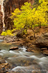
Yellow cottonwood trees in autumn, fall colors in the Virgin River Narrows in Zion National Park.
Location: Virgin River Narrows, Zion National Park, Utah
Image ID: 26120
Location: Virgin River Narrows, Zion National Park, Utah
Image ID: 26120
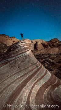
Exuberant hiker atop the Fire Wave, at night, stars and the evening sky.
Location: Valley of Fire State Park, Nevada
Image ID: 28450
Location: Valley of Fire State Park, Nevada
Image ID: 28450
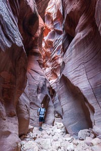
Hiker in Buckskin Gulch. A hiker considers the towering walls and narrow passageway of Buckskin Gulch, a dramatic slot canyon forged by centuries of erosion through sandstone. Buckskin Gulch is the worlds longest accessible slot canyon, running from the Paria River toward the Colorado River. Flash flooding is a serious danger in the narrows where there is no escape.
Location: Buckskin Gulch, Paria Canyon-Vermilion Cliffs Wilderness, Arizona
Image ID: 20716
Location: Buckskin Gulch, Paria Canyon-Vermilion Cliffs Wilderness, Arizona
Image ID: 20716
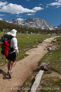
Hiker traversing the John Muir Trail to Fletcher Peak and Vogelsang Peak through alpine meadow in Yosemite's high country, trail on approach to Vogelsang High Sierra Camp.
Location: Yosemite National Park, California
Image ID: 23204
Location: Yosemite National Park, California
Image ID: 23204
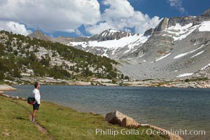
Hiker admires Townsley Lake (10396') and the Cathedral Range in Yosemite's High Sierra.
Location: Yosemite National Park, California
Image ID: 23227
Location: Yosemite National Park, California
Image ID: 23227

Buckskin Gulch hiker. A hiker moves through the deep narrow passages of Buckskin Gulch, a slot canyon cut deep into sandstone by years of river-induced erosion. In some places the Buckskin Gulch narrows are only about 15 feet wide but several hundred feet high, blocking sunlight. Flash floods are dangerous as there is no escape once into the Buckskin Gulch slot canyons. This is a panorama made of sixteen individual photos.
Location: Buckskin Gulch, Paria Canyon-Vermilion Cliffs Wilderness, Arizona
Image ID: 20699
Panorama dimensions: 4771 x 15311
Location: Buckskin Gulch, Paria Canyon-Vermilion Cliffs Wilderness, Arizona
Image ID: 20699
Panorama dimensions: 4771 x 15311
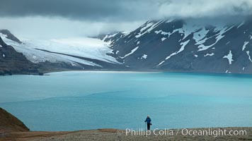
A hiker ascends the slopes of South Georgia Island above Fortuna Bay.
Location: Fortuna Bay, South Georgia Island
Image ID: 24591
Location: Fortuna Bay, South Georgia Island
Image ID: 24591
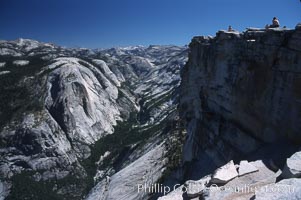
Hikers atop Summit of Half Dome, view of Tenaya Canyon.
Location: Half Dome, Yosemite National Park, California
Image ID: 05458
Location: Half Dome, Yosemite National Park, California
Image ID: 05458

View from Iron Mountain, over Poway and San Diego.
Location: Iron Mountain, Poway, California
Image ID: 35810
Panorama dimensions: 5497 x 17758
Location: Iron Mountain, Poway, California
Image ID: 35810
Panorama dimensions: 5497 x 17758
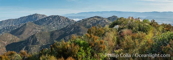
View from Iron Mountain, over Poway and San Diego.
Location: Iron Mountain, Poway, California
Image ID: 35812
Panorama dimensions: 5137 x 14797
Location: Iron Mountain, Poway, California
Image ID: 35812
Panorama dimensions: 5137 x 14797
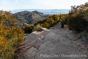
View from Iron Mountain, over Poway and San Diego.
Location: Iron Mountain, Poway, California
Image ID: 35813
Location: Iron Mountain, Poway, California
Image ID: 35813
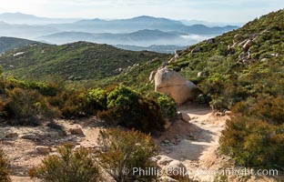
View from Iron Mountain, over Poway and San Diego.
Location: Iron Mountain, Poway, California
Image ID: 35814
Location: Iron Mountain, Poway, California
Image ID: 35814
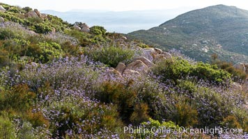
Sage in bloom on Iron Mountain, San Diego.
Location: Iron Mountain, San Diego, California
Image ID: 35815
Location: Iron Mountain, San Diego, California
Image ID: 35815