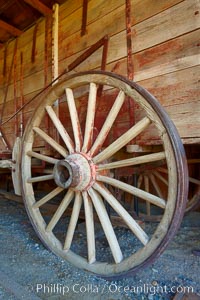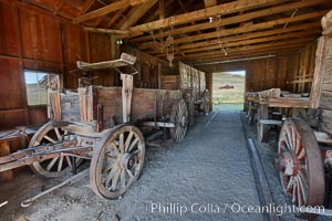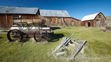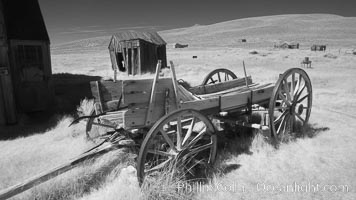
Old wagon wasting away.
Image ID: 23313
Image ID: 23313
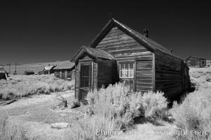
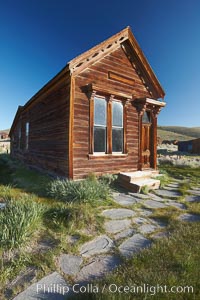
Old wooden home in Bodie Ghost Town, infrared exposure.
Image ID: 23315
Image ID: 23315
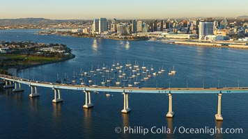
San Diego Coronado Bridge, known locally as the Coronado Bridge, links San Diego with Coronado, California. The bridge was completed in 1969 and was a toll bridge until 2002. It is 2.1 miles long and reaches a height of 200 feet above San Diego Bay. Coronado Island is to the left, and downtown San Diego is to the right in this view looking north.
Location: San Diego, California
Image ID: 22299
Location: San Diego, California
Image ID: 22299
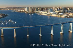
San Diego Coronado Bridge, known locally as the Coronado Bridge, links San Diego with Coronado, California. The bridge was completed in 1969 and was a toll bridge until 2002. It is 2.1 miles long and reaches a height of 200 feet above San Diego Bay. Coronado Island is to the left, and downtown San Diego is to the right in this view looking north.
Location: San Diego, California
Image ID: 22306
Location: San Diego, California
Image ID: 22306
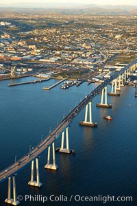
San Diego Coronado Bridge, known locally as the Coronado Bridge, links San Diego with Coronado, California. The bridge was completed in 1969 and was a toll bridge until 2002. It is 2.1 miles long and reaches a height of 200 feet above San Diego Bay.
Location: San Diego, California
Image ID: 22326
Location: San Diego, California
Image ID: 22326
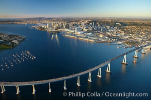
San Diego Coronado Bridge, known locally as the Coronado Bridge, links San Diego with Coronado, California. The bridge was completed in 1969 and was a toll bridge until 2002. It is 2.1 miles long and reaches a height of 200 feet above San Diego Bay. Coronado Island is to the left, and downtown San Diego is to the right in this view looking north.
Location: San Diego, California
Image ID: 22365
Location: San Diego, California
Image ID: 22365
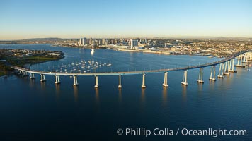
San Diego Coronado Bridge, known locally as the Coronado Bridge, links San Diego with Coronado, California. The bridge was completed in 1969 and was a toll bridge until 2002. It is 2.1 miles long and reaches a height of 200 feet above San Diego Bay. Coronado Island is to the left, and downtown San Diego is to the right in this view looking north.
Location: San Diego, California
Image ID: 22401
Location: San Diego, California
Image ID: 22401
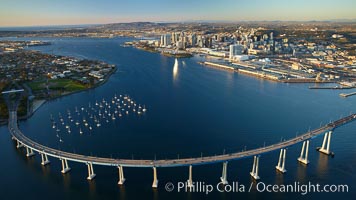
San Diego Coronado Bridge, known locally as the Coronado Bridge, links San Diego with Coronado, California. The bridge was completed in 1969 and was a toll bridge until 2002. It is 2.1 miles long and reaches a height of 200 feet above San Diego Bay. Coronado Island is to the left, and downtown San Diego is to the right in this view looking north.
Location: San Diego, California
Image ID: 22432
Location: San Diego, California
Image ID: 22432
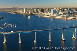
San Diego Coronado Bridge, known locally as the Coronado Bridge, links San Diego with Coronado, California. The bridge was completed in 1969 and was a toll bridge until 2002. It is 2.1 miles long and reaches a height of 200 feet above San Diego Bay. Coronado Island is to the left, and downtown San Diego is to the right in this view looking north.
Location: San Diego, California
Image ID: 22433
Location: San Diego, California
Image ID: 22433
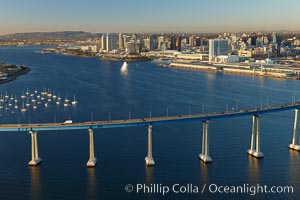
San Diego Coronado Bridge, known locally as the Coronado Bridge, links San Diego with Coronado, California. The bridge was completed in 1969 and was a toll bridge until 2002. It is 2.1 miles long and reaches a height of 200 feet above San Diego Bay. Coronado Island is to the left, and downtown San Diego is to the right in this view looking north.
Location: San Diego, California
Image ID: 22460
Location: San Diego, California
Image ID: 22460
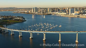
San Diego Coronado Bridge, known locally as the Coronado Bridge, links San Diego with Coronado, California. The bridge was completed in 1969 and was a toll bridge until 2002. It is 2.1 miles long and reaches a height of 200 feet above San Diego Bay. Coronado Island is to the left, and downtown San Diego is to the right in this view looking north.
Location: San Diego, California
Image ID: 22461
Location: San Diego, California
Image ID: 22461
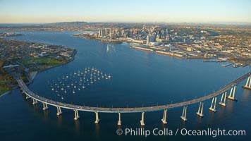
San Diego Coronado Bridge, known locally as the Coronado Bridge, links San Diego with Coronado, California. The bridge was completed in 1969 and was a toll bridge until 2002. It is 2.1 miles long and reaches a height of 200 feet above San Diego Bay. Coronado Island is to the left, and downtown San Diego is to the right in this view looking north.
Location: San Diego, California
Image ID: 22466
Location: San Diego, California
Image ID: 22466
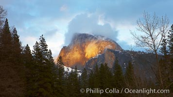
Half Dome and storm clouds at sunset, viewed from Sentinel Bridge.
Location: Half Dome, Yosemite National Park, California
Image ID: 22759
Location: Half Dome, Yosemite National Park, California
Image ID: 22759
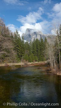
Half Dome and clouds, spring, viewed from Sentinel Bridge.
Location: Half Dome, Yosemite National Park, California
Image ID: 22763
Location: Half Dome, Yosemite National Park, California
Image ID: 22763
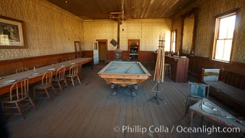
Wheaton and Hollis Hotel, interior of pool room and parlor.
Location: Bodie State Historical Park, California
Image ID: 23110
Location: Bodie State Historical Park, California
Image ID: 23110
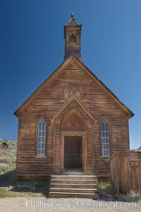
Methodist Church, Green Street, exterior, southern exposure.
Location: Bodie State Historical Park, California
Image ID: 23114
Location: Bodie State Historical Park, California
Image ID: 23114
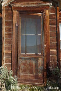
Cody House, dilapitated front door.
Location: Bodie State Historical Park, California
Image ID: 23116
Location: Bodie State Historical Park, California
Image ID: 23116
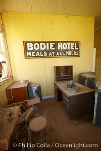
Wheaton and Hollis Hotel, lobby interior with sign "Bodie Hotel, meals at all hours.".
Location: Bodie State Historical Park, California
Image ID: 23117
Location: Bodie State Historical Park, California
Image ID: 23117
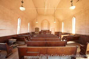
Methodist Church, Green Street, interior.
Location: Bodie State Historical Park, California
Image ID: 23118
Location: Bodie State Historical Park, California
Image ID: 23118
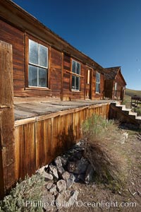
,L.E. Bell House, front porch, Union Street and Park Street.
Location: Bodie State Historical Park, California
Image ID: 23122
Location: Bodie State Historical Park, California
Image ID: 23122
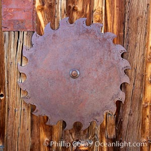
Saw blade, attached to side of the old sawmill.
Location: Bodie State Historical Park, California
Image ID: 23123
Location: Bodie State Historical Park, California
Image ID: 23123
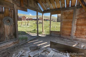
Old barn, interior with Main Street buildings in background.
Location: Bodie State Historical Park, California
Image ID: 23124
Location: Bodie State Historical Park, California
Image ID: 23124
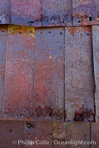
Rusted old metal siding, Kelley Building on Green Street.
Location: Bodie State Historical Park, California
Image ID: 23125
Location: Bodie State Historical Park, California
Image ID: 23125
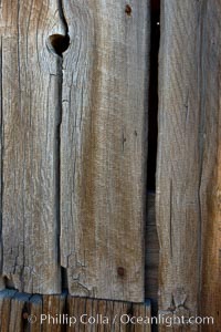
Weathered wood and nails, Kelley Building on Green Street.
Location: Bodie State Historical Park, California
Image ID: 23126
Location: Bodie State Historical Park, California
Image ID: 23126
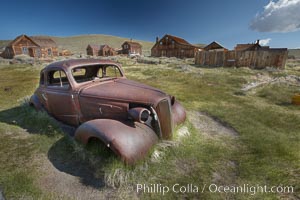
Old car lying in dirt field, Fuller Street and Green Street buildings in background.
Location: Bodie State Historical Park, California
Image ID: 23134
Location: Bodie State Historical Park, California
Image ID: 23134
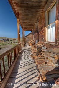
Seiler House, front porch, Park Street.
Location: Bodie State Historical Park, California
Image ID: 23136
Location: Bodie State Historical Park, California
Image ID: 23136
