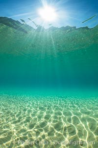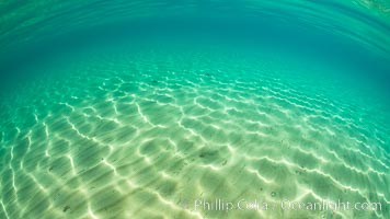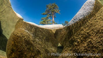
Split view of Trees and Underwater Boulders, Lake Tahoe, Nevada.
Location: Lake Tahoe, Nevada
Image ID: 32331
Location: Lake Tahoe, Nevada
Image ID: 32331
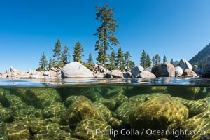
Split view of Trees and Underwater Boulders, Lake Tahoe, Nevada.
Location: Lake Tahoe, Nevada
Image ID: 32339
Location: Lake Tahoe, Nevada
Image ID: 32339
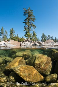
Split view of Trees and Underwater Boulders, Lake Tahoe, Nevada.
Location: Lake Tahoe, Nevada
Image ID: 32341
Location: Lake Tahoe, Nevada
Image ID: 32341
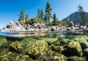
Split view of Trees and Underwater Boulders, Lake Tahoe, Nevada.
Location: Lake Tahoe, Nevada
Image ID: 32353
Location: Lake Tahoe, Nevada
Image ID: 32353
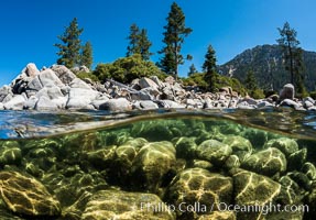
Split view of Trees and Underwater Boulders, Lake Tahoe, Nevada.
Location: Lake Tahoe, Nevada
Image ID: 32355
Location: Lake Tahoe, Nevada
Image ID: 32355
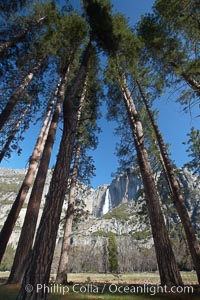
Yosemite Falls and tall pine trees, viewed from Cook's Meadow.
Location: Yosemite Falls, Yosemite National Park, California
Image ID: 22746
Location: Yosemite Falls, Yosemite National Park, California
Image ID: 22746
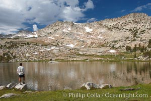
Hiker views Vogelsang Lake, and Vogelsang Peak (11516') at sunrise in Yosemite's High Sierra.
Location: Yosemite National Park, California
Image ID: 23201
Location: Yosemite National Park, California
Image ID: 23201
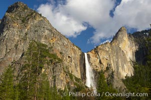
Bridalveil Falls at sunset, with clouds and blue sky in the background. Bridalveil Falls in Yosemite drops 620 feet (188 m) from a hanging valley to the floor of Yosemite Valley.
Location: Bridalveil Falls, Yosemite National Park, California
Image ID: 12646
Location: Bridalveil Falls, Yosemite National Park, California
Image ID: 12646
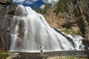
Fly fishing below Gibbon Falls. This flyfisherman hiked up the Gibbon River to reach the foot of Gibbon Falls.
Location: Gibbon River, Yellowstone National Park, Wyoming
Image ID: 13269
Location: Gibbon River, Yellowstone National Park, Wyoming
Image ID: 13269
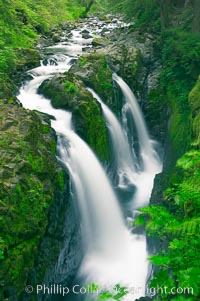
Sol Duc Falls. Sol Duc Falls is one of the largest and most beautiful waterfalls in Olympic National Park, seen here from a bridge that crosses the canyon just below the falls. Surrounding the falls is an old-growth forest of hemlocks and douglas firs, some of which are three hundred years in age.
Location: Sol Duc Springs, Olympic National Park, Washington
Image ID: 13747
Location: Sol Duc Springs, Olympic National Park, Washington
Image ID: 13747
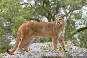
Mountain lion, Sierra Nevada foothills, Mariposa, California.
Species: Mountain lion, Puma concolor
Image ID: 15791
Species: Mountain lion, Puma concolor
Image ID: 15791
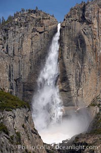
Upper Yosemite Falls near peak flow in spring. Yosemite Falls, at 2425 feet tall (730m) is the tallest waterfall in North America and fifth tallest in the world. Yosemite Valley.
Location: Yosemite Falls, Yosemite National Park, California
Image ID: 16066
Location: Yosemite Falls, Yosemite National Park, California
Image ID: 16066
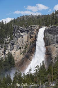
Nevada Falls marks where the Merced River plummets almost 600 through a joint in the Little Yosemite Valley, shooting out from a sheer granite cliff and then down to a boulder pile far below.
Location: Nevada Falls, Yosemite National Park, California
Image ID: 16114
Location: Nevada Falls, Yosemite National Park, California
Image ID: 16114
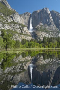
Yosemite Falls is reflected in a springtime pool in flooded Cooks Meadow, Yosemite Valley.
Location: Yosemite Falls, Yosemite National Park, California
Image ID: 16135
Location: Yosemite Falls, Yosemite National Park, California
Image ID: 16135
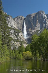
Yosemite Falls rises above the Merced River, viewed from the Swinging Bridge. The 2425 falls is the tallest in North America. Yosemite Valley.
Location: Yosemite Falls, Yosemite National Park, California
Image ID: 16143
Location: Yosemite Falls, Yosemite National Park, California
Image ID: 16143
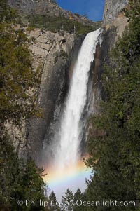
Bridalveil Falls with a rainbow forming in its spray, dropping 620 into Yosemite Valley, displaying peak water flow in spring months from deep snowpack and warm weather melt. Yosemite Valley.
Location: Bridalveil Falls, Yosemite National Park, California
Image ID: 16160
Location: Bridalveil Falls, Yosemite National Park, California
Image ID: 16160
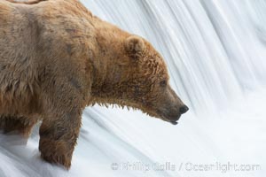
Brown bear waits for salmon at Brooks Falls. Blurring of the water is caused by a long shutter speed. Brooks River.
Species: Brown bear, Ursus arctos
Location: Brooks River, Katmai National Park, Alaska
Image ID: 17047
Species: Brown bear, Ursus arctos
Location: Brooks River, Katmai National Park, Alaska
Image ID: 17047
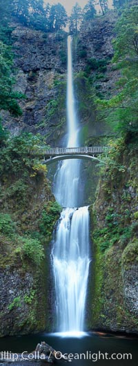
Multnomah Falls. Plummeting 620 feet from its origins on Larch Mountain, Multnomah Falls is the second highest year-round waterfall in the United States. Nearly two million visitors a year come to see this ancient waterfall making it Oregon's number one public destination.
Location: Multnomah Falls, Columbia River Gorge National Scenic Area, Oregon
Image ID: 19313
Panorama dimensions: 12453 x 4705
Location: Multnomah Falls, Columbia River Gorge National Scenic Area, Oregon
Image ID: 19313
Panorama dimensions: 12453 x 4705
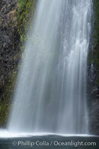
Horsetail Falls drops 176 feet just a few yards off the Columbia Gorge Scenic Highway.
Location: Horsetail Falls, Columbia River Gorge National Scenic Area, Oregon
Image ID: 19318
Location: Horsetail Falls, Columbia River Gorge National Scenic Area, Oregon
Image ID: 19318
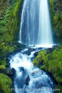
Wahkeena Falls drops 249 feet in several sections through a lush green temperate rainforest.
Location: Wahkeena Falls, Columbia River Gorge National Scenic Area, Oregon
Image ID: 19324
Location: Wahkeena Falls, Columbia River Gorge National Scenic Area, Oregon
Image ID: 19324
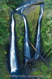
Triple Falls, in the upper part of Oneonta Gorge, fall 130 feet through a lush, beautiful temperate rainforest.
Location: Triple Falls, Columbia River Gorge National Scenic Area, Oregon
Image ID: 19326
Location: Triple Falls, Columbia River Gorge National Scenic Area, Oregon
Image ID: 19326
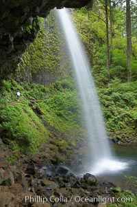
Ponytail Falls, where Horsetail Creeks drops 100 feet over an overhang below which hikers can walk.
Location: Ponytail Falls, Columbia River Gorge National Scenic Area, Oregon
Image ID: 19337
Location: Ponytail Falls, Columbia River Gorge National Scenic Area, Oregon
Image ID: 19337
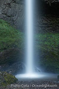
Latourelle Falls, in Guy W. Talbot State Park, drops 249 feet through a lush forest near the Columbia River.
Location: Latourelle Falls, Columbia River Gorge National Scenic Area, Oregon
Image ID: 19347
Location: Latourelle Falls, Columbia River Gorge National Scenic Area, Oregon
Image ID: 19347
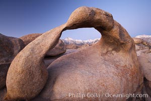
Mobius Arch at sunrise, with Mount Whitney (the tallest peak in the continental United States), Lone Pine Peak and snow-covered Sierra Nevada Range framed within the arch. Mobius Arch is a 17-foot-wide natural rock arch in the scenic Alabama Hills Recreational Area near Lone Pine, California.
Location: Alabama Hills Recreational Area, California
Image ID: 21729
Location: Alabama Hills Recreational Area, California
Image ID: 21729
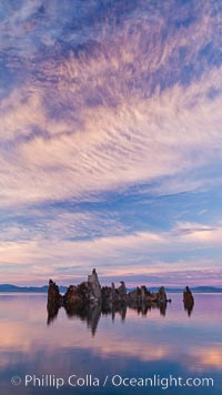
Mono Lake sunset, tufa and clouds reflected in the still waters of Mono Lake.
Location: Mono Lake, California
Image ID: 26977
Location: Mono Lake, California
Image ID: 26977
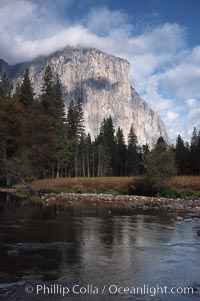
El Capitan and Merced River, Yosemite Valley.
Location: El Capitan, Yosemite National Park, California
Image ID: 05413
Location: El Capitan, Yosemite National Park, California
Image ID: 05413
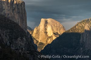
Half Dome at Sunset, Yosemite National Park.
Location: Yosemite National Park, California
Image ID: 34545
Location: Yosemite National Park, California
Image ID: 34545
