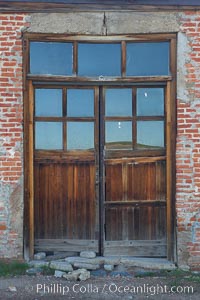
Weathered old door and windows, Hydro Building on Green Street.
Location: Bodie State Historical Park, California
Image ID: 23119
Location: Bodie State Historical Park, California
Image ID: 23119
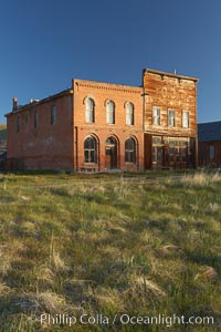
Main Street buildings, Dechambeau Hotel (left) and I.O.O.F. Hall (right).
Location: Bodie State Historical Park, California
Image ID: 23137
Location: Bodie State Historical Park, California
Image ID: 23137
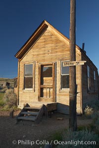
McMillan House, Green Street and Wood Street.
Location: Bodie State Historical Park, California
Image ID: 23138
Location: Bodie State Historical Park, California
Image ID: 23138
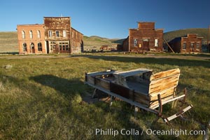
Sleigh, with Main Street buildings Dechambeau Hotel and I.O.O.F. Hall (left), Miners Union Hall and town morgue (right).
Location: Bodie State Historical Park, California
Image ID: 23143
Location: Bodie State Historical Park, California
Image ID: 23143
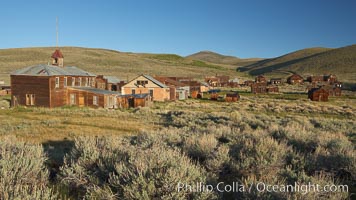
School house and Green Street buildings, in town of Bodie.
Location: Bodie State Historical Park, California
Image ID: 23152
Location: Bodie State Historical Park, California
Image ID: 23152
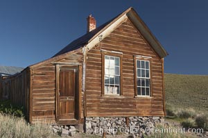
Metzger House, Fuller Street and Union Street.
Location: Bodie State Historical Park, California
Image ID: 23160
Location: Bodie State Historical Park, California
Image ID: 23160
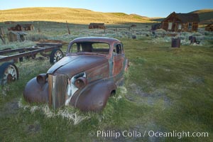
Old car lying in dirt field, Fuller Street and Green Street buildings in background.
Location: Bodie State Historical Park, California
Image ID: 23164
Location: Bodie State Historical Park, California
Image ID: 23164
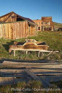
Old barn, with Main Street and I.O.O.F. Hall in background.
Location: Bodie State Historical Park, California
Image ID: 23165
Location: Bodie State Historical Park, California
Image ID: 23165
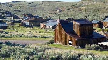
Johl Barn and town of Bodie, viewed from McDonald House on Fuller Street.
Location: Bodie State Historical Park, California
Image ID: 23167
Location: Bodie State Historical Park, California
Image ID: 23167
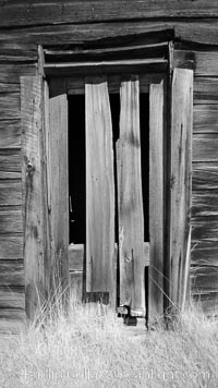
Weathered and broken old door, Kelley Building on Green Street.
Location: Bodie State Historical Park, California
Image ID: 23171
Location: Bodie State Historical Park, California
Image ID: 23171
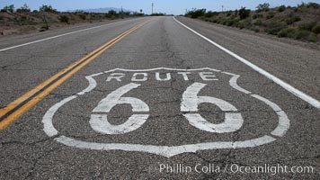
Route 66 (also known as U.S. Route 66, The Main Street of America, The Mother Road and the Will Rogers Highway) was a highway in the U.S. Highway system. One of the original federal routes, US 66 was established in 1926 and originally ran from Chicago through Missouri, Kansas, Oklahoma, Texas, New Mexico, Arizona, and California, before ending at Los Angeles for a total of 2,448 miles. US 66 was officially decommissioned (i.e., removed from the offical U.S. Highway system) in 1985 after it was decided the route was no longer relevant and had been replaced by the Interstate Highway System.
Location: California
Image ID: 20567
Location: California
Image ID: 20567
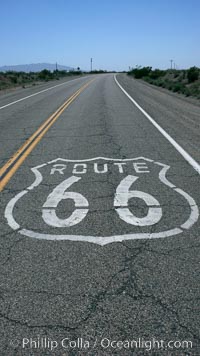
Route 66 (also known as U.S. Route 66, The Main Street of America, The Mother Road and the Will Rogers Highway) was a highway in the U.S. Highway system. One of the original federal routes, US 66 was established in 1926 and originally ran from Chicago through Missouri, Kansas, Oklahoma, Texas, New Mexico, Arizona, and California, before ending at Los Angeles for a total of 2,448 miles. US 66 was officially decommissioned (i.e., removed from the offical U.S. Highway system) in 1985 after it was decided the route was no longer relevant and had been replaced by the Interstate Highway System.
Location: California
Image ID: 20593
Location: California
Image ID: 20593
