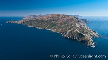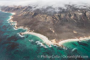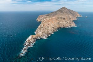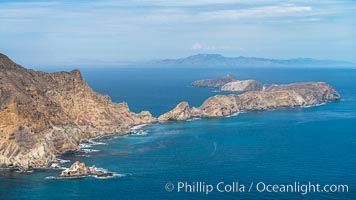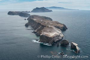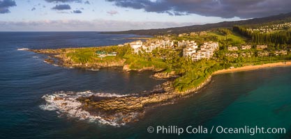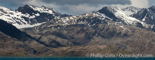
Mountains, glaciers and ocean, the rugged and beautiful topography of South Georgia Island.
Location: Grytviken, South Georgia Island
Image ID: 24580
Location: Grytviken, South Georgia Island
Image ID: 24580
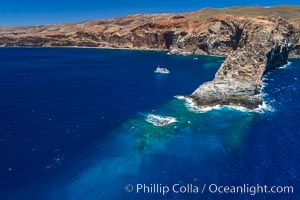
Cabo Pearce on Socorro Island, aerial photo, Revillagigedos Islands, Mexico.
Location: Socorro Island (Islas Revillagigedos), Baja California, Mexico
Image ID: 32909
Location: Socorro Island (Islas Revillagigedos), Baja California, Mexico
Image ID: 32909
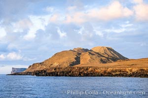
Sunrise on morros near south end of Guadalupe Island.
Location: Guadalupe Island (Isla Guadalupe), Baja California, Mexico
Image ID: 03706
Location: Guadalupe Island (Isla Guadalupe), Baja California, Mexico
Image ID: 03706
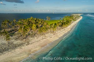
Coconut palm trees on Clipperton Island, aerial photo. Clipperton Island is a spectacular coral atoll in the eastern Pacific. By permit HC / 1485 / CAB (France).
Location: Clipperton Island, France
Image ID: 32845
Location: Clipperton Island, France
Image ID: 32845
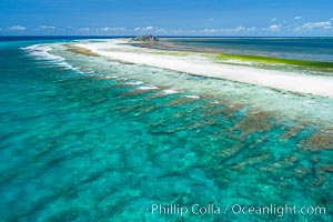
Coral Reef at Clipperton Island, aerial photo. Clipperton has healthy, beautiful coral reefs. The white beaches are composed of white coralline rubble. Clipperton Island, a minor territory of France also known as Ile de la Passion, is a spectacular coral atoll in the eastern Pacific. By permit HC / 1485 / CAB (France).
Location: Clipperton Island, France
Image ID: 32899
Location: Clipperton Island, France
Image ID: 32899
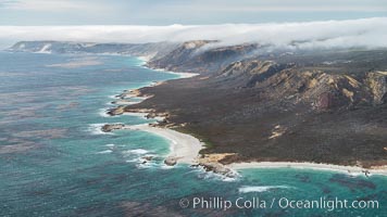
San Miguel Island south side, aerial photograph.
Location: San Miguel Island, California
Image ID: 29386
Location: San Miguel Island, California
Image ID: 29386
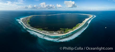
Aerial panorama of Clipperton Island, showing the entire atoll. Clipperton Island, a minor territory of France also known as Ile de la Passion, is a small (2.3 sq mi) but spectacular coral atoll in the eastern Pacific. By permit HC / 1485 / CAB (France).
Location: Clipperton Island, France
Image ID: 32843
Panorama dimensions: 5161 x 11384
Location: Clipperton Island, France
Image ID: 32843
Panorama dimensions: 5161 x 11384
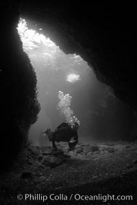
A SCUBA diver enters a submarine cavern at Santa Barbara Island, underwater cave.
Location: Santa Barbara Island, California
Image ID: 23423
Location: Santa Barbara Island, California
Image ID: 23423
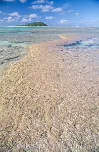
coralline algae reef.
Species: Coralline algae, Porolithon
Location: Rose Atoll National Wildlife Sanctuary, American Samoa
Image ID: 00729
Species: Coralline algae, Porolithon
Location: Rose Atoll National Wildlife Sanctuary, American Samoa
Image ID: 00729
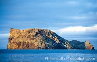
Isla Afuera, Guadalupe Island, daybreak.
Location: Guadalupe Island (Isla Guadalupe), Baja California, Mexico
Image ID: 03698
Location: Guadalupe Island (Isla Guadalupe), Baja California, Mexico
Image ID: 03698
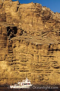
Boat Horizon below eastern cliffs of Isla Afuera, sunrise.
Location: Guadalupe Island (Isla Guadalupe), Baja California, Mexico
Image ID: 03700
Location: Guadalupe Island (Isla Guadalupe), Baja California, Mexico
Image ID: 03700
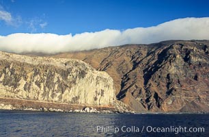
Clouds held back by island crest, near the north end of Guadalupe Island off the coast of Baja California, Mexico.
Location: Guadalupe Island (Isla Guadalupe), Baja California, Mexico
Image ID: 03838
Location: Guadalupe Island (Isla Guadalupe), Baja California, Mexico
Image ID: 03838
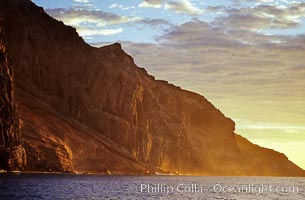
East face and shoreline of southernmost morro, daybreak.
Location: Guadalupe Island (Isla Guadalupe), Baja California, Mexico
Image ID: 06152
Location: Guadalupe Island (Isla Guadalupe), Baja California, Mexico
Image ID: 06152
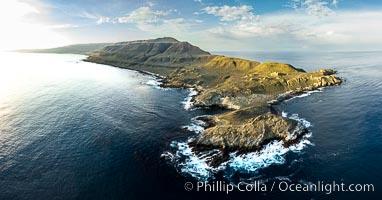
San Clemente Island aerial photo, Pyramid Head and Balanced Rock at the southern end of the island. San Clemente Island Pyramid Head, the distinctive pyramid shaped southern end of the island, exhibits distinctive geologic terracing, underwater reefs and giant kelp forests.
Location: San Clemente Island, California
Image ID: 38484
Panorama dimensions: 5158 x 9854
Location: San Clemente Island, California
Image ID: 38484
Panorama dimensions: 5158 x 9854
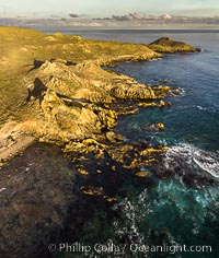
San Clemente Island aerial photo, Pyramid Head and Balanced Rock at the southern end of the island. San Clemente Island Pyramid Head, the distinctive pyramid shaped southern end of the island, exhibits distinctive geologic terracing, underwater reefs and giant kelp forests.
Location: San Clemente Island, California
Image ID: 38488
Location: San Clemente Island, California
Image ID: 38488

Coral Reef at Clipperton Island, aerial photo. Clipperton has healthy, beatiful coral reefs. The white beaches are composed of white coralline rubble. Clipperton Island, a minor territory of France also known as Ile de la Passion, is a spectacular coral atoll in the eastern Pacific. By permit HC / 1485 / CAB (France).
Location: Clipperton Island, France
Image ID: 32935
Panorama dimensions: 3976 x 12332
Location: Clipperton Island, France
Image ID: 32935
Panorama dimensions: 3976 x 12332
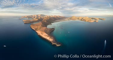
Punta Prieta and San Gabriel Bay, Aerial Photo, Sunset.
Location: Isla Espiritu Santo, Baja California, Mexico
Image ID: 32472
Panorama dimensions: 4377 x 8221
Location: Isla Espiritu Santo, Baja California, Mexico
Image ID: 32472
Panorama dimensions: 4377 x 8221
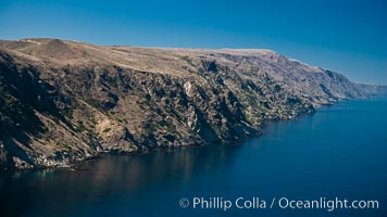
San Clemente Island, aerial photo, steep cliffs and mountainous terrain on the south eastern shore of the island.
Location: San Clemente Island, California
Image ID: 25981
Location: San Clemente Island, California
Image ID: 25981
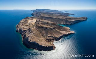
Isla Partida north end and Punta Maru, aerial photo, Sea of Cortez.
Location: Isla Partida, Baja California, Mexico
Image ID: 32391
Location: Isla Partida, Baja California, Mexico
Image ID: 32391
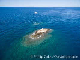
La Reina Lighthouse Reef, Sea of Cortez, aerial photo.
Location: La Reina, Baja California, Mexico
Image ID: 32372
Location: La Reina, Baja California, Mexico
Image ID: 32372
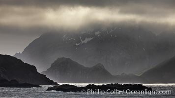
South Georgia Island coastline, showing the island's characteristic rugged topography. 56% of the island is covered by 161 glaciers, which have created numerous large bays and inlets that provide excellent habitat for marine animals and seabirds. Mountains meet the sea in steep-sided seacliffs covered with sparse vegetation. The highest point on South Georgia Island is Mt. Paget at 2,915m.
Location: South Georgia Island
Image ID: 24317
Location: South Georgia Island
Image ID: 24317
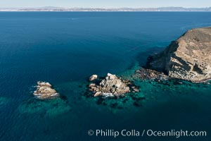
South Coronado Island, Mexico, northern point showing underwater reef structure, aerial photograph.
Location: Coronado Islands (Islas Coronado), Baja California, Mexico
Image ID: 29061
Location: Coronado Islands (Islas Coronado), Baja California, Mexico
Image ID: 29061
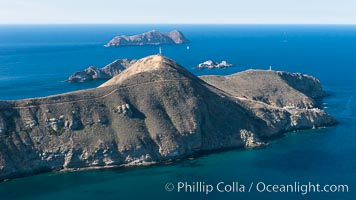
South Coronado Island, Mexico, eastern side, Middle and North Islands in the distance, aerial photograph.
Location: Coronado Islands (Islas Coronado), Baja California, Mexico
Image ID: 29065
Location: Coronado Islands (Islas Coronado), Baja California, Mexico
Image ID: 29065
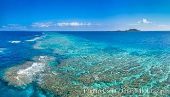
Aerial View of Namena Marine Reserve and Coral Reefs, Namena Island, Fiji.
Location: Namena Marine Reserve, Namena Island, Fiji
Image ID: 34693
Panorama dimensions: 4793 x 8352
Location: Namena Marine Reserve, Namena Island, Fiji
Image ID: 34693
Panorama dimensions: 4793 x 8352
