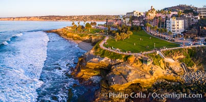
Aerial Photo of Point La Jolla and Scripps Park, La Jolla Coastline.
Location: La Jolla, California
Image ID: 38152
Location: La Jolla, California
Image ID: 38152
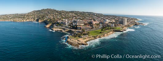
Aerial Panoramic Photo of Point La Jolla and La Jolla Cove, Boomer Beach, Scripps Park. Panoramic aerial photograph of La Jolla Cove and Scripps Parks (center), with La Jolla’s Mount Soledad rising above, La Jolla Shores and La Jolla Caves to the left and the La Jolla Coast with Children’s Pool (Casa Cove) to the right. The undersea reefs of Boomer Beach are seen through the clear, calm ocean waters. This extremely high resolution panorama will print 50″ high by 130″ long with no interpolation.
Location: La Jolla, California
Image ID: 30773
Panorama dimensions: 7744 x 20541
Location: La Jolla, California
Image ID: 30773
Panorama dimensions: 7744 x 20541
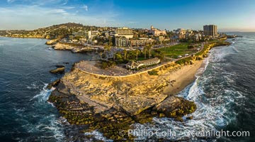
Point La Jolla and Scripps Park aerial photo, sunset, sea lions and sea gulls and tourists looking down on Boomer Beach. Aerial panoramic photo.
Location: La Jolla, California
Image ID: 38073
Panorama dimensions: 5257 x 9461
Location: La Jolla, California
Image ID: 38073
Panorama dimensions: 5257 x 9461
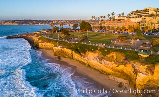
Aerial Photo of Point La Jolla and Scripps Park, La Jolla Coastline.
Location: La Jolla, California
Image ID: 38083
Location: La Jolla, California
Image ID: 38083
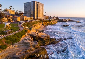
Aerial Photo of Point La Jolla and Scripps Park, La Jolla Coastline.
Location: La Jolla, California
Image ID: 38143
Location: La Jolla, California
Image ID: 38143
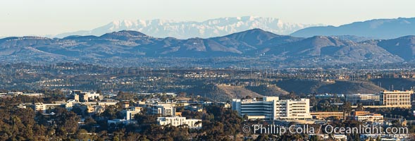
Snow-covered Mount San Gorgonio, seen beyond Double Peak Park in San Marcos, viewed from Mount Soledad in La Jolla, on an exceptionally clear winter day. Double Peak is about 20 miles away while the San Bernardino Mountains are about 90 miles distant. In the foreground are UCSD (University of California at San Diego, left), Veterans Administration Hospital (center) and Scripps La Jolla Medical Center (right).
Image ID: 37589
Panorama dimensions: 5467 x 16110
Image ID: 37589
Panorama dimensions: 5467 x 16110

Snow-covered Mount San Gorgonio,viewed from Double Peak Park in San Marcos, on an exceptionally clear winter day.
Image ID: 37598
Panorama dimensions: 7282 x 26267
Image ID: 37598
Panorama dimensions: 7282 x 26267
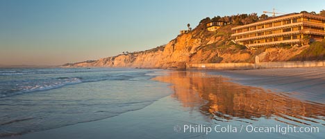
La Jolla Coastline, Hubbs Hall at SIO, Black's Beach, Torrey Pines State Reserve, panorama, sunset.
Location: Scripps Institution of Oceanography, La Jolla, California
Image ID: 26537
Panorama dimensions: 3411 x 7980
Location: Scripps Institution of Oceanography, La Jolla, California
Image ID: 26537
Panorama dimensions: 3411 x 7980
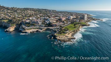
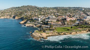
Aerial Photo of La Jolla Cove, Mount Soledad and Scripps Park, La Jolla Coastline.
Image ID: 30740
Image ID: 30740
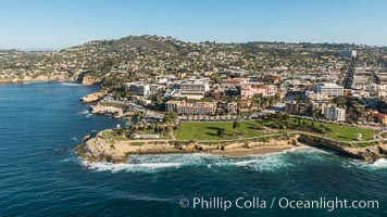
Aerial Photo of La Jolla Cove, Mount Soledad and Scripps Park, La Jolla Coastline.
Image ID: 30741
Image ID: 30741
Aerial Photo of La Jolla Cove, Mount Soledad and Scripps Park, La Jolla Coastline.
Image ID: 30742
Image ID: 30742

Snow-covered Mount San Gorgonio, seen beyond Double Peak Park in San Marcos, viewed from Mount Soledad in La Jolla, on an exceptionally clear winter day. Double Peak is about 20 miles away while the San Bernardino Mountains are about 90 miles distant. In the foreground are UCSD (University of California at San Diego, left), Veterans Administration Hospital (center) and Scripps La Jolla Medical Center (right).
Image ID: 37588
Panorama dimensions: 5054 x 16491
Image ID: 37588
Panorama dimensions: 5054 x 16491
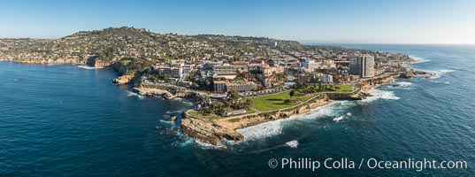
Aerial Photo of Point La Jolla and La Jolla Cove, Boomer Beach, Scripps Park.
Location: La Jolla, California
Image ID: 30782
Panorama dimensions: 4829 x 12976
Location: La Jolla, California
Image ID: 30782
Panorama dimensions: 4829 x 12976
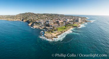
Aerial Photo of Point La Jolla and La Jolla Cove, Boomer Beach, Scripps Park.
Location: La Jolla, California
Image ID: 30784
Panorama dimensions: 7094 x 13092
Location: La Jolla, California
Image ID: 30784
Panorama dimensions: 7094 x 13092
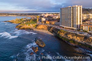
Point La Jolla and Scripps Park and Coast Boulevard, aerial photo, sunset.
Location: La Jolla, California
Image ID: 38105
Location: La Jolla, California
Image ID: 38105
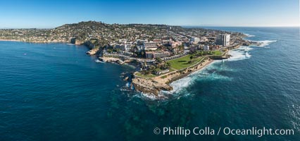
Aerial Panoramic Photo of Point La Jolla and La Jolla Cove, Boomer Beach, Scripps Park.
Location: La Jolla, California
Image ID: 30786
Panorama dimensions: 7679 x 16364
Location: La Jolla, California
Image ID: 30786
Panorama dimensions: 7679 x 16364
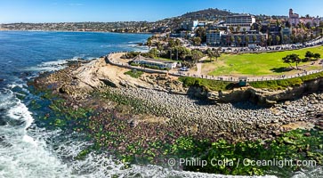
Aerial Photo of Point La Jolla and Scripps Park and Low King Tide, La Jolla Coastline.
Location: La Jolla, California
Image ID: 40708
Location: La Jolla, California
Image ID: 40708
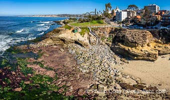
Aerial Photo of Point La Jolla and Scripps Park and Low King Tide, La Jolla Coastline.
Location: La Jolla, California
Image ID: 40709
Panorama dimensions: 5067 x 8589
Location: La Jolla, California
Image ID: 40709
Panorama dimensions: 5067 x 8589
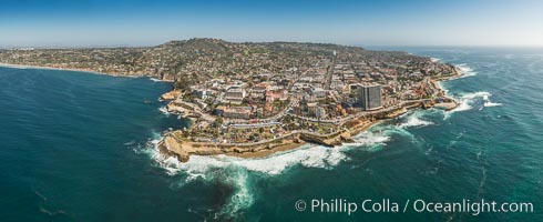
Aerial Panoramic Photo of La Jolla Cove and Scripps Park, Mount Soledad and Downtown La Jolla.
Location: La Jolla, California
Image ID: 30849
Panorama dimensions: 7919 x 19385
Location: La Jolla, California
Image ID: 30849
Panorama dimensions: 7919 x 19385
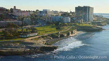
La Jolla Point (lower left) and Scripps Park, with old La Jolla shops, homes and Coast Blvd.
Location: La Jolla, California
Image ID: 22359
Location: La Jolla, California
Image ID: 22359
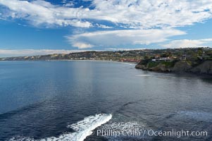
La Jolla Shores and the La Jolla Ecological Reserve and Underwater Park, looking north from the La Jolla sea caves. Scripps Institution of Oceanography and its pier can be seen in the distance.
Location: La Jolla Ecological Reserve, California
Image ID: 14751
Location: La Jolla Ecological Reserve, California
Image ID: 14751
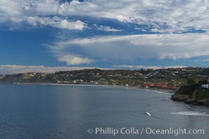
La Jolla Shores and the La Jolla Ecological Reserve and Underwater Park, looking north from the La Jolla sea caves. Scripps Institution of Oceanography and its pier can be seen in the distance.
Location: La Jolla Ecological Reserve, California
Image ID: 14752
Location: La Jolla Ecological Reserve, California
Image ID: 14752