Natural History Photography Blog
Natural History Photography Home
About
Image Search
Contact
More
Prints
Licensing
Articles
Copyright
Results For
"buckskin"
9 results found
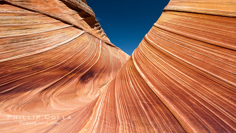
Photographing Antelope Canyon, The Wave, Buckskin Gulch and Horseshoe Bend
Blog Post
Photo of Buckskin Gulch
Blog Post
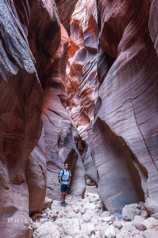
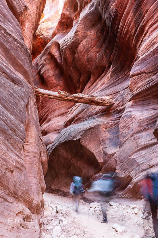
Buckskin Gulch Backpacking
Blog Post
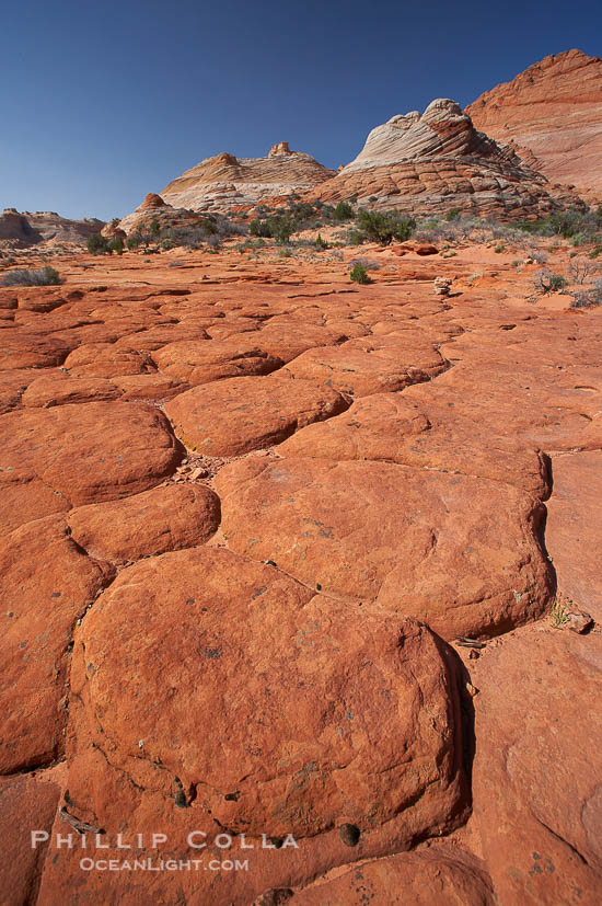
Hiking Buckskin Gulch
Blog Post
The Ultimate Photographer’s Weekend in Page, Arizona
Blog Post
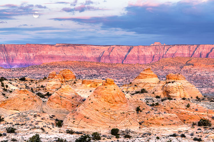
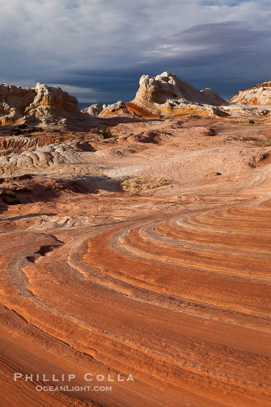
Tortured Landscape, White Pocket, Vermilion Cliffs National Monument
Blog Post
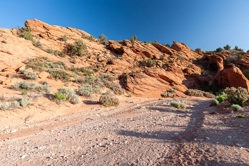
Wire Pass Trailhead
Blog Post
Bad Cop, No Donut
Blog Post
A Day At The Wave, North Coyote Buttes, Part I
Blog Post
Natural History Photography Home
About
Image Search
Contact
More
Prints
Licensing
Articles
Copyright