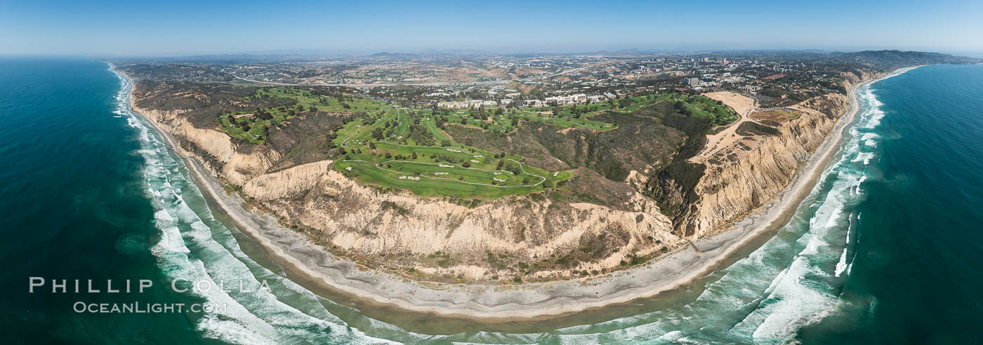
This aerial panorama of Torrey Pines Golf Course will print huge: up to about 4′ high and 10′ wide! In the center is seen Torrey Pines Golf Course south course, with the north course to the left. I played Torrey Pines often when I first moved to La Jolla and it is as beautiful on the ground as it looks from the air. Dominating the scene are the 300′ tall seacliffs that characterize the coastline from Torrey Pines State Reserve south to Scripps Institute of Oceanography. To the right is seen Torrey Pines Glider Port on the mesa, and Black’s Beach at the base of the seacliffs. Interstate 5 is seen in the center distance along with University City, Del Mar to the extreme left and Mount Soledad and La Jolla to the extreme right. I am often asked if I use a drone to shoot aerials, since they are becoming so popular. The answer for now is “no”: I always hold the camera. Someday I will probably use a drone but for my current interests and goals, I have greater control and can produce a higher quality image if I am in the air with my camera. Besides, its fun to fly, and I don’t want a drone to have all the fun. It was exciting making this panorama, hovering over some of the most beautiful coastline in all of California. If you like this, see more of my aerial panoramic photographs. Cheers, and thanks for looking.
Aerial panorama of Blacks Beach, Torrey Pines Golf Course (south course), and views to La Jolla (south) and Carlsbad (north)
Image ID: 30851
Location: La Jolla, California, USA


