Selected images from our collection of Galapagos Island photos can now be browsed in Google Earth. If you have Google Earth installed on your computer, you should be able to click on the link below and have our layer of images open up within Google Earth, showing where in the archipelago each image was taken. Zoom in to an island and the images will spread out, making it easier to select one. Clicking on an image will bring up a web page with more detail about it!
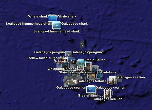
 Photographs of the Galapagos Islands on Google Earth. If you do not have Google Earth installed, you can Download Google Earth to get started.


