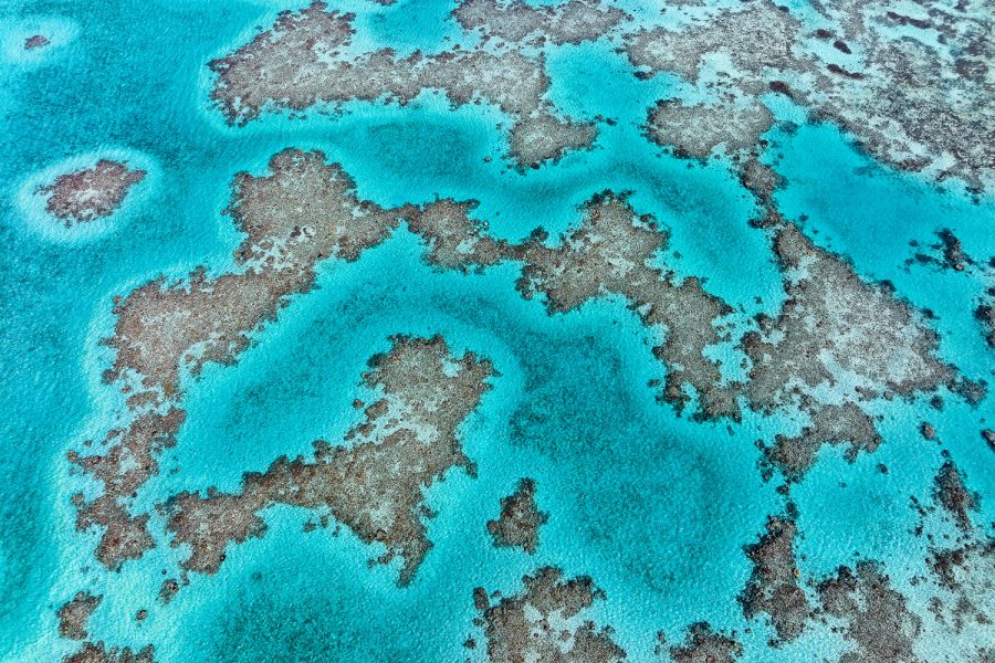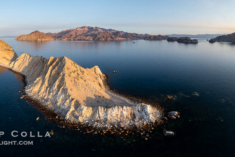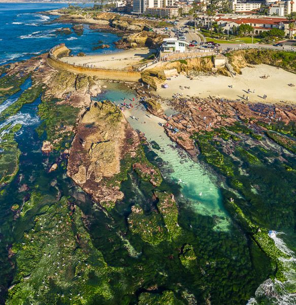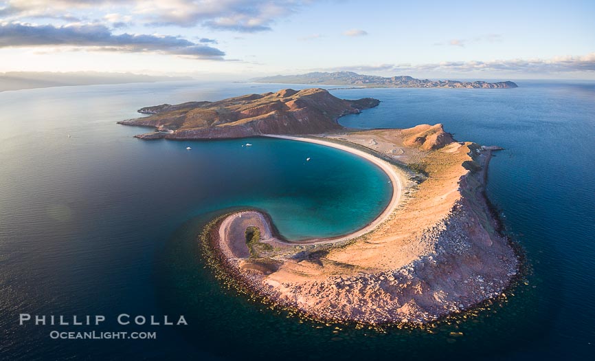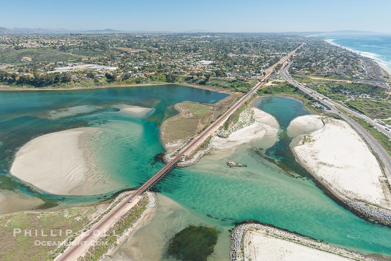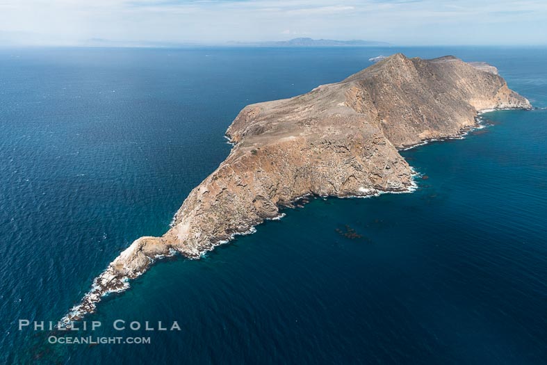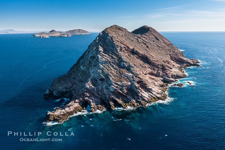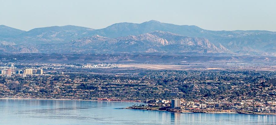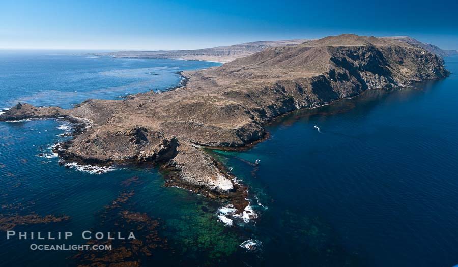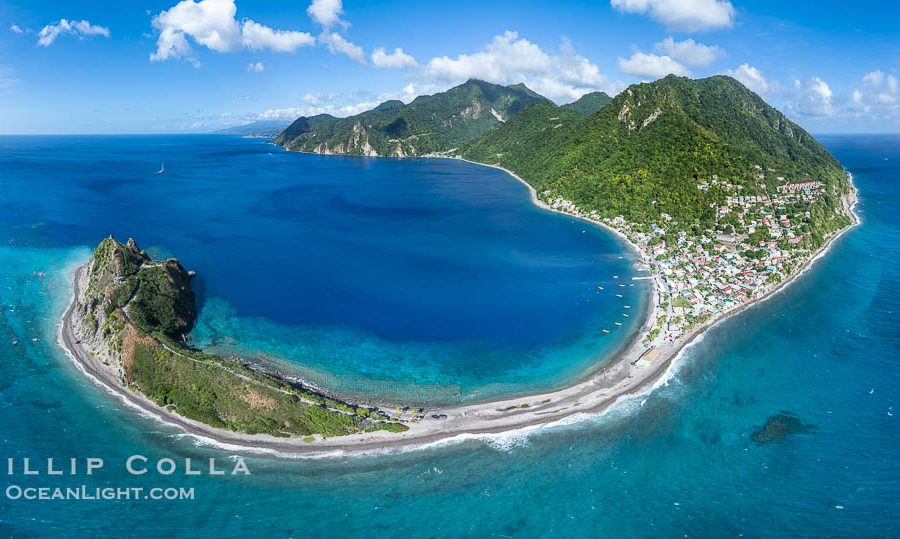
Aerial Photos of Scott’s Head on the Island of Dominica
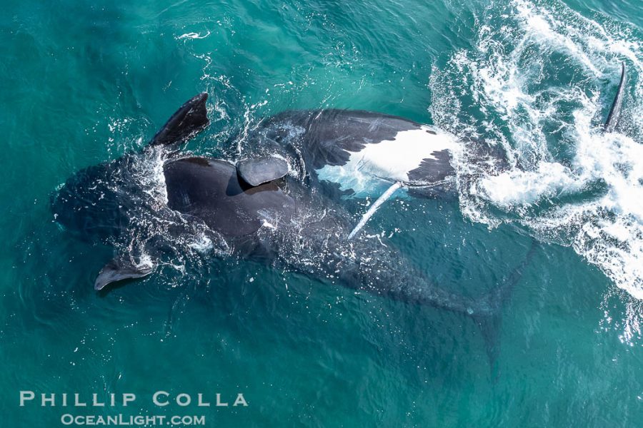
I was recently on the beautiful island of Dominica photographing sperm whales. Tracy meet me afterward and we spend a week relaxing at the south end of the island, snorkeling and enjoying the waterfalls and hot springs. I flew Superfly to get some images of Scott's Head, the scenic south…
adminFebruary 6, 2026